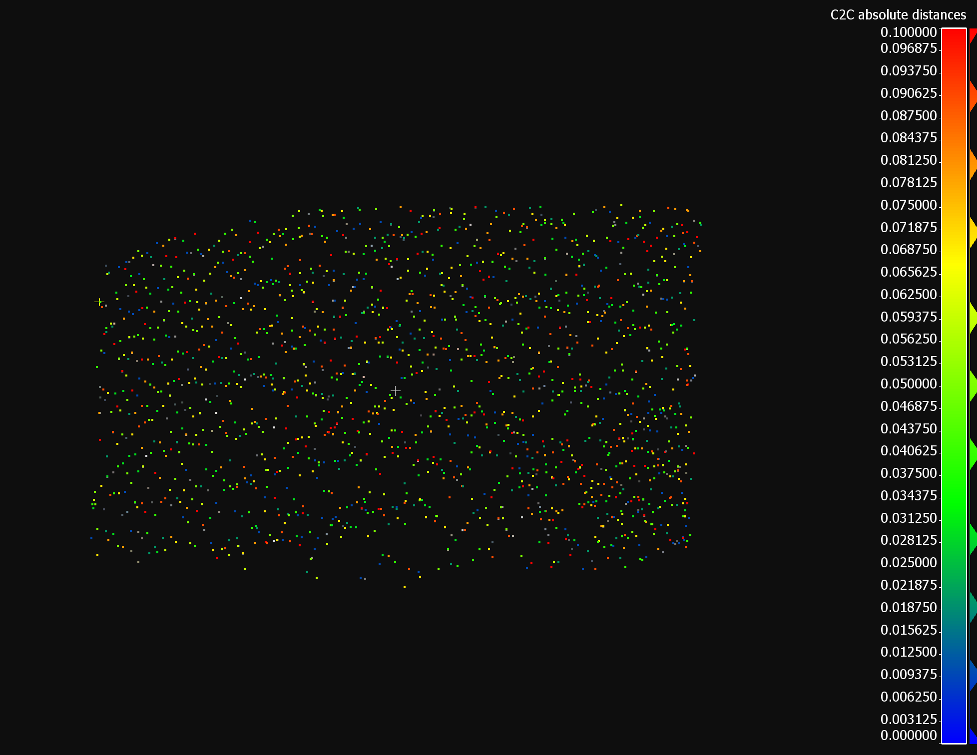
I want to compare different methods of generating TIN-models. To assess the quality of each model, I want to calculate the vertical distance between each point in the input point cloud and the generated TIN in order to later calculate for example the RMSE. Any tips on an approach?
Solved
Calculating vertical error of TIN from point cloud
Reply
Rich Text Editor, editor1
Editor toolbars
Press ALT 0 for help
Enter your E-mail address. We'll send you an e-mail with instructions to reset your password.


