
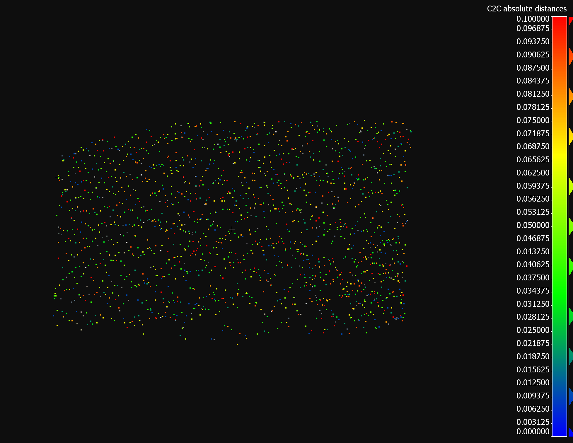
I want to compare different methods of generating TIN-models. To assess the quality of each model, I want to calculate the vertical distance between each point in the input point cloud and the generated TIN in order to later calculate for example the RMSE. Any tips on an approach?

Solved
Calculating vertical error of TIN from point cloud
 +6
+6- Contributor
Best answer by jasperwis
Hi
This would be my first approach

Jasper
This post is closed to further activity.
It may be an old question, an answered question, an implemented idea, or a notification-only post.
Please check post dates before relying on any information in a question or answer.
For follow-up or related questions, please post a new question or idea.
If there is a genuine update to be made, please contact us and request that the post is reopened.


Login to the community
No account yet? Create an account
An FME Account is required to contribute
LoginEnter your E-mail address. We'll send you an e-mail with instructions to reset your password.