I have connected to an third party data source via an XML url and managed to export this to SHP file format.
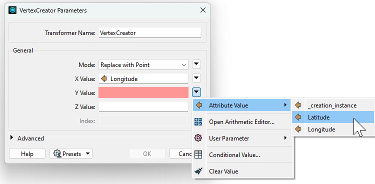
The issue I am having is that the latitude and longitude are not being pulled through into the writer. Equally, the lat/long and name of the data source are showing as there own row in the attribute table not as a column. I have attached a snip for reference.
This is my first time using FME so have read a few articles and tried a few differerent transformers to try and get the output I am looking for but to no avail. Any help would be appreciated.


