Hello FME users,
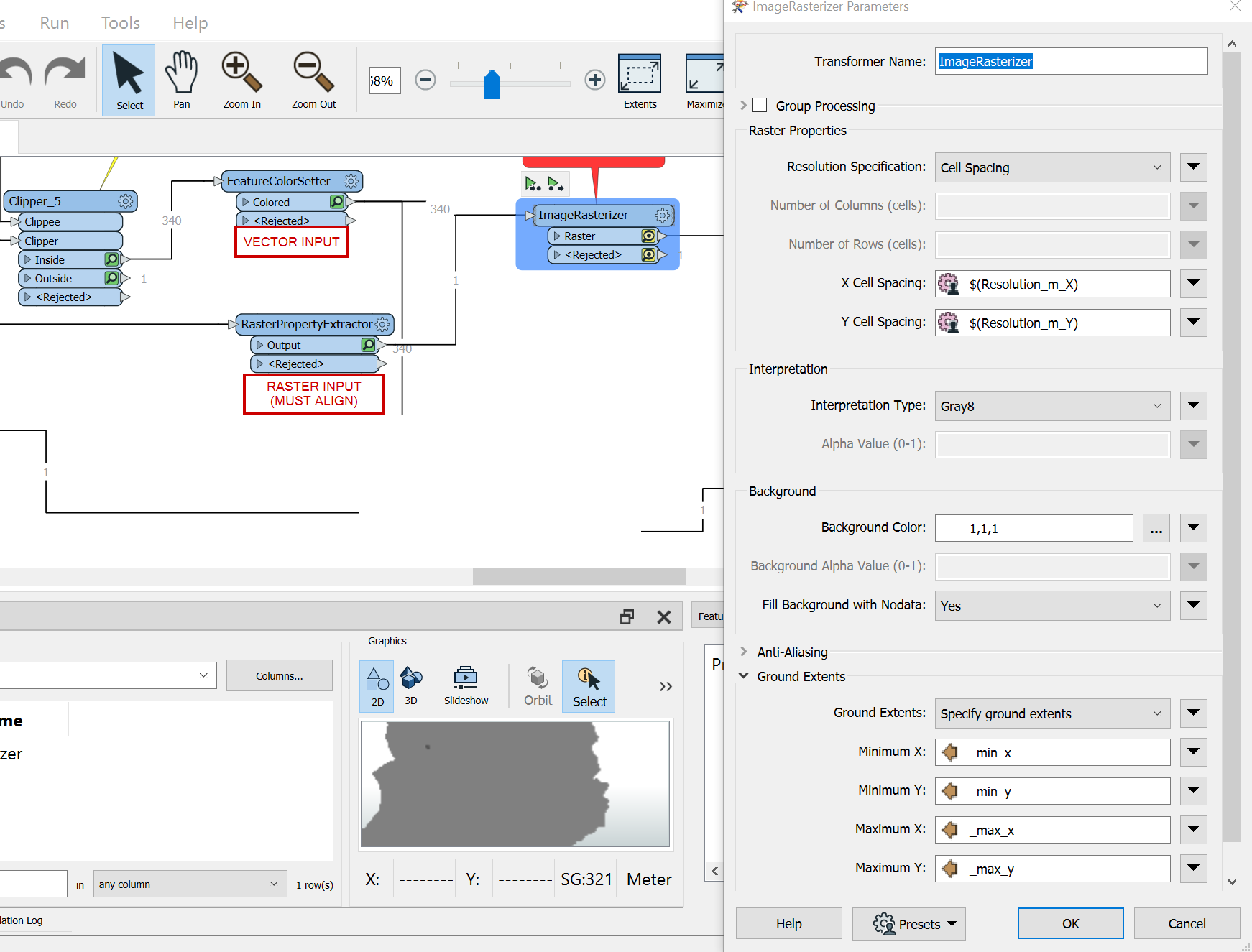
I am looking for a solution that is the equivalent to ArcGIS snap raster. My situation is that I have road netowrk, rivers and lakes (all in vector format) and I need to transform those into raster format. I already have a grid template (coming from a 10m resolution slope raster) and I want all my vector to raster outputs to fit with absolute precision. I have tried to use min/max coordinates but the resultat is not good enough (see images below for transformer parameters and resulting rasters.)
I am sure this standard ArcGIS procedure MUST have an equivalent in FME(otherwise, PLEASE make sure to develop one!). Can anyone enlight me?
Kind regards,
Anne-Marie


