Are there any specific coordinate strings or bounding boxes to be created for the ImageFetcher to understand where to fetch from a URL? I.e. I tried to fetch from a XYZ tile server and it works flawless in QGIS. The same URL doesn't work with the ImageFetcher for some reason.

Question
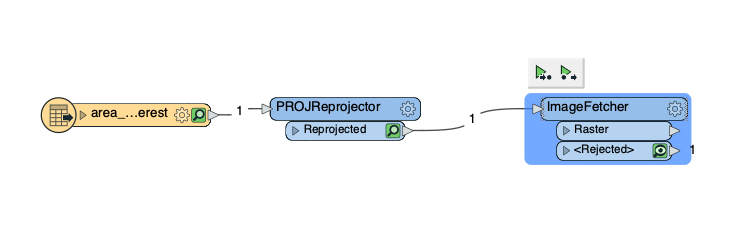
I'm trying to use ImageFetcher, was wondering how the input data would have to look like. The URL to call is clear to me but with which data would you feed the ImageFetcher? I tried points, polygons and polylines and none of them worked.


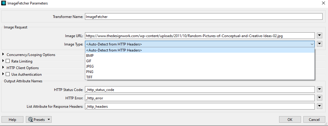 FME will download the image and read it in with the JPEGReader - you can see evidence of the JPEG reader in the log fie e.g.,


Reply
Rich Text Editor, editor1
Editor toolbars
Press ALT 0 for help
Helpful Members This Week


Enter your E-mail address. We'll send you an e-mail with instructions to reset your password.