Question

viewshed analysis....

  • 3 September 2018
  • 7 replies
  • 54 views

Badge

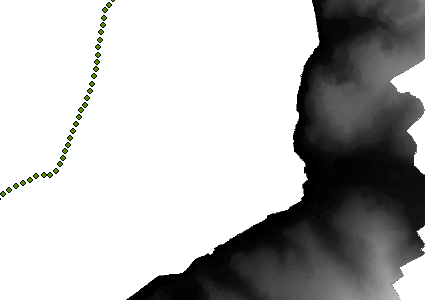
hi everybody... I'm doing 3d visibility analysis. I have points data and dem data as in the screen image. I need to do an analysis for each point and I need to save all visible areas as a single shp...can you help me please


7 replies

Userlevel 5
Badge +26

There's no easy out-of-the-box way of doing that with FME. The only thing I can think of is to create lines from all of your points to all of your DEM cells and clip those with a solid you made from the DEM. If the line is clipped that DEM cell can't be seen from that point. It would be a potentially huge operation though.

Userlevel 1
Badge +11

Hi @veyselakatay,

Have you taken a look at this blog post by Dmitri on viewshed analyses in FME? The idea is similar to what redgeographics suggests. As well, you can listen to Dmitri explain the demo in the webinar, How to Get the Most Out of LiDAR Data.

Hi @jovitaatsafe​ 


I also had to do a viewshed analysis and followed the steps in the blog post by Dmitri. Unfortunately, the viewshed analysis took hours to complete (I even had to optimize my computer memory) and the result is completely wrong.

I did a viewshed analysis with the same input data with ArcScene, GlobalMapper, SAGA GIS and QGIS and all programms runned the analysis in a few minutes only and their results are almost the same and seem to be correct.

I need to automate the process so the other programms are not really an alternative. Why does the viewshed analysis in FME take so long and returns wrong results? Is there in the meantime an other way to do a viewshed analysis in FME? 

Userlevel 1
Badge +10

Hi @cjenal​, I'm concerned about the "completely wrong" results. Would you be able to share that with us along with the workspace you used (and even better, with a small sample dataset)?


In terms of the processing time, ensure that you've disabled Feature Caching. Otherwise, if you can share a sample dataset and workspace with us that would help us reproduce what you are experiencing.

Hi @nampreetatsafe​ 

Sorry for my late reply. It took me a bit to recreate the error. With the sample dataset, the workspace runs quickly but the result is still wrong (compared to the results of the other softwares I tested). The workspace I used is based on the workspace Dmitri posted in his blog post.

In the image below you see the different results of the visibility analysis: red ist the result by QGIS, yellow with GlobalMapper and green is the FME result. Attached you'll find a sample dataset (workspace, shp and GeoTiff).Viewsheds_compared

@nampreetatsafe​ could you in the meanwhile check this out?

hi @cjenal​ ,

I'm working on a project that retakes most of yours. I have many observer points and i need to check the visibility on a DEM surface... But I don't know how to do this, Dmitri's blog is quit helpful, but its script don't support many observer points. Have you any tips, clues or solution about viewshed analysis in FME ? Did you manage to make it work ?

Reply