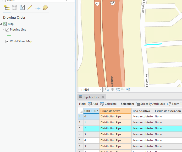
I'm attempting to write data into a PostgreSQL database using the PostGIS writer. The issue I'm having is that the geometry is not being 'drawn' in ArcPro. When selecting the record in the attribute table, the geometry highlights but is not visible. When creating a feature from scratch in ArcPro, it draws as expected. This makes me believe it's a configuration issue within FME.
I have verified the Shape Column is 'shape' (as defined in the database), and that the SRID matches that which is specified as a constraint in the database (3857). The coordinate system I'm using on the writer is EPSG:3857. I'm converting from DGN, if that is relevant.
When reading the data back in with FME, all geometry appears normal and in the correct location.
What could be the issue?


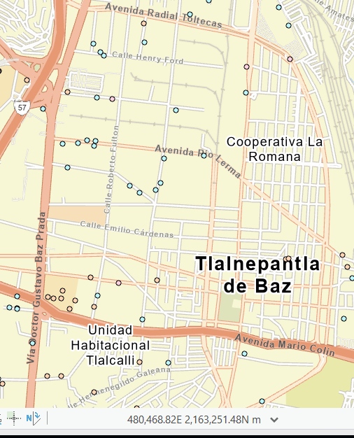
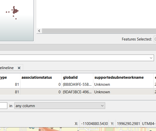
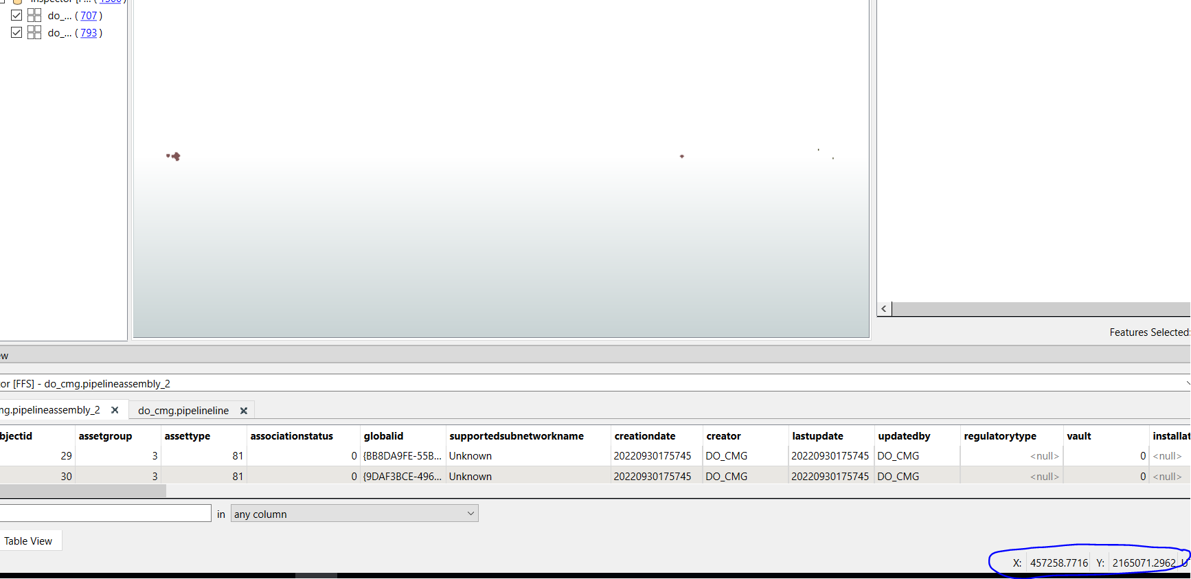
 Now I read in that same feature class with FME, along with the feature class I've written into with FME. The coordinates being displayed in FME Data Inspector do not match what is in ArcPro:
 Zooming out in Data Inspector and hovering over the features I created in FME, the coordinates match as expected (where the existing data is being displayed in ArcPro).
 I feel like this is a projection issue, but it's not making much sense to me at this point.