Hell all,
I am able to read my previously created shp file in Fanout mode, but I get this warnings:
Shapefile Reader: Input dataset XXXshp' contains a Record Index file that is not a sufficient length to be useful and will be ignored. Features can still be read but performance may be impacted.
After reading this shp file I am using AreOnAreaOverlayer and fme stacked there with warnings.
Number of Inner Boundaries: 1
--------------------------------------
Inner Boundary Number: 0
Geometry Type: IFMEPolygon
Boundary:
Geometry Type: IFMELine
Number of Coordinates: 10 -- Coordinate Dimension: 2
===============================================================ccoordinates
============
AreaOnAreaOverlayer (OverlayFactory):
Overlaying requires a tolerance of at least 2.5078612099758616e-13 for these features, and the input tolerance is 0. Setting the tolerance to 2.5078612099758616e-13
When I changed Tolerance from None into Automatic, another warning appears:
@Geohash: The feature is either too big or located on one of the edge cases. Unable to create a geohash with characters in common. Will create a geohash using the center of the feature.
Anyone knows how to solve this issue?
I am using fme 2021.2.2.
Prefered python interpreter FME Python 3.8+
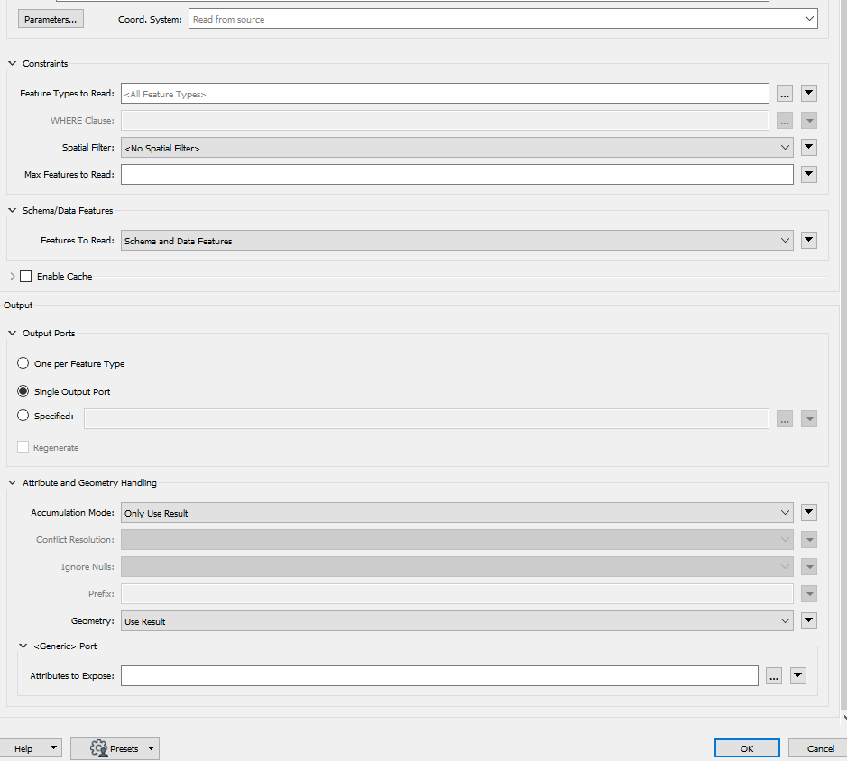
Below parameters for FeatureReader which I am using.


