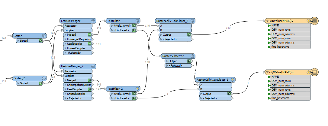
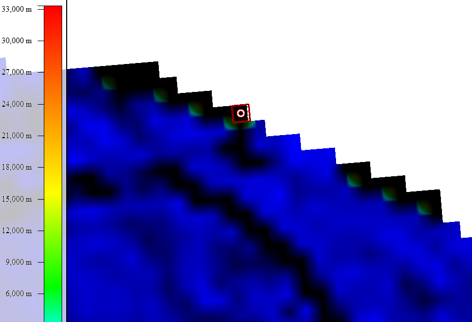
Long story short I'm trying to create a Canopy height model from a set of DEM rasters and DSM rasters by subtracting the DEM from the DEM using the rastercellvaluecalculator transform. My workflow works fine except for the occasional set of DEM and DSM where they don't share the same number of pixels. This is because the DEM and DSM are generated using different sampling techniques. As such when I clip them using the clipper transform the DSM might have an extra row or column of pixels. Here is the general workflow:
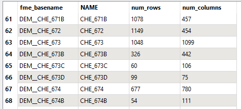
 Once the DEMs and DSMs are clipped I get the raster extents for both datasets that looks like the following coming out of the sorter:
DEM
DSM
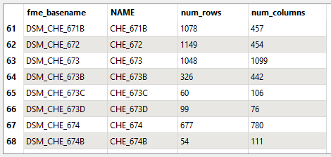
As you can see there is an example where the pair of DEM and DSM dont share the same number of rows (line 66). When this pair gets to the rastercellvalue calculator transform it stops on this pair, even though I have the rejected feature handling set to continue.
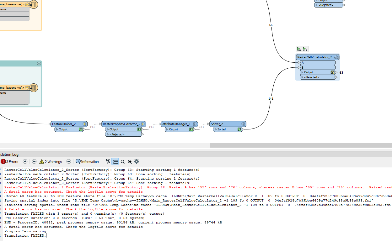
I have a work around that I've tested with one image pair that just removes the extra row but I need to know which pairs don't match. I've tried using the tester, testfilter transforms but they don't check both data sets at the same time.
Any help or suggestions would be much appreciated.


