Since, I work with spatial data and more into ESRI formats, so I come along with different problems with the same format type, and again, I am stuck with a new problem here. Though, its a bit difficult to explain, yet, let me try:
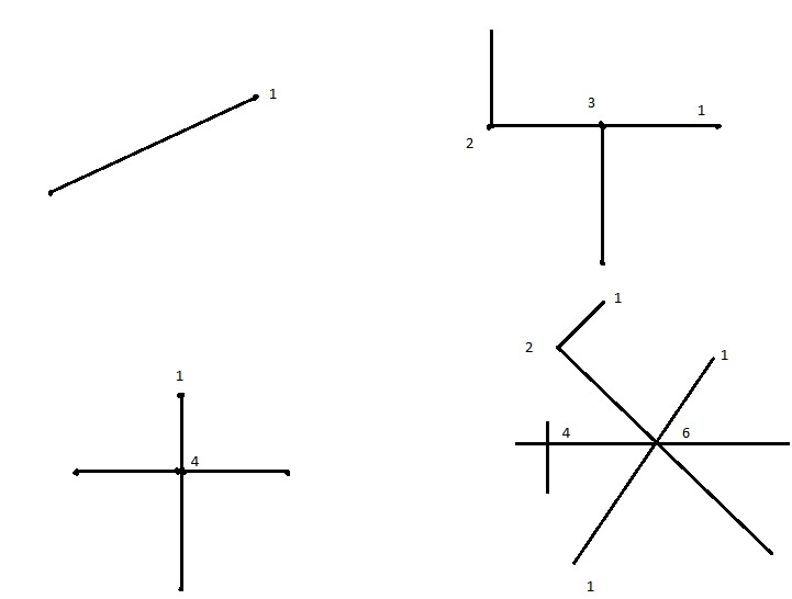
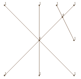
I have a Road Network with Polyline geometry. Each Road Network Element (line segment) has a start and an end node. If we split the line at junctions/intersections and add a point to each start an end node to each Line Segment, there will be a certain number of overlapping nodes (image below).
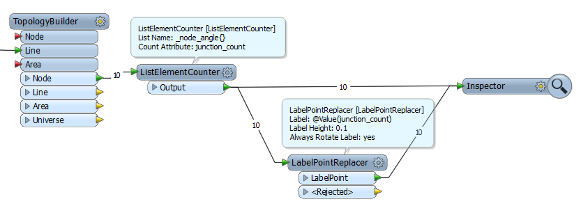
My question is will I be able to extract the count of nodes at every junction?
Pl feel free to ask queries if I am not able to communicate properly.


