")
Hey there,
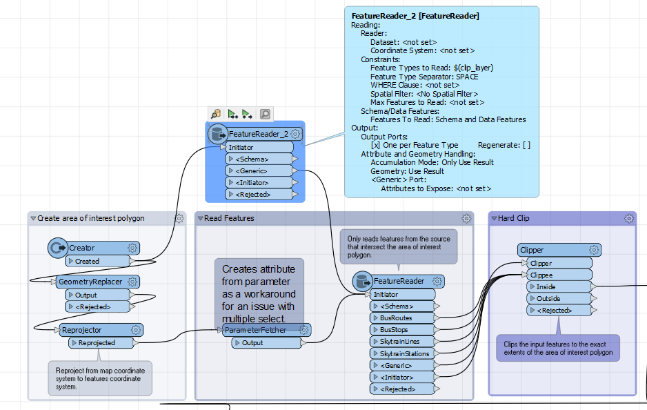
So I recently set up a Data Distribution service on FME Server using this tutorial https://community.safe.com/s/article/data-distribution-fme-server-app . Everything works fine and I can use the area of interest box to draw an area and download all the relevant layers.
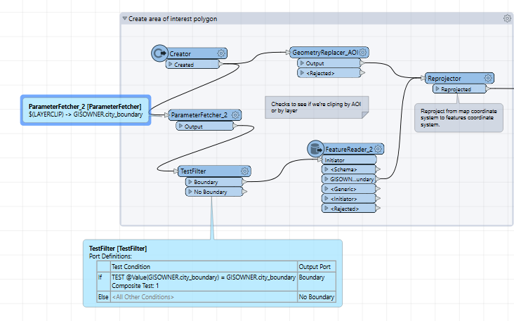
I am trying to add a second option in the User Parameters to allow the user to either draw a selection or choose a layer to clip by.
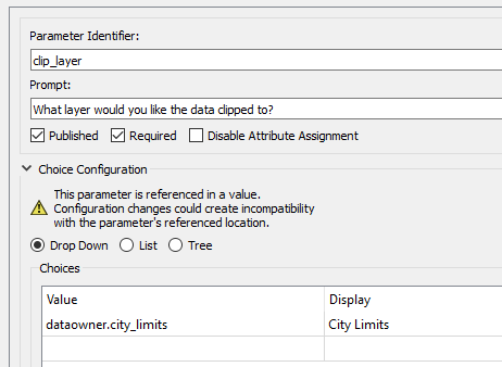
In user parameters I added a 'Choice' option and added a layer as an option to clip by 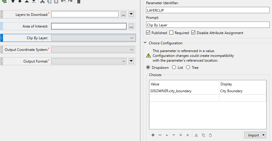 my thought was I could add a second geometryreplacer, set the encoding to OGC well known text and the source as $(LAYERCLIP) by when I run it and select the City Boundary to clip but FME gives me the error INVALID_PARAMETER_GEOMETRY_SOURCE. Is it because FME doesn't know what GISOWNER.city_boundary is? Its a layer in our enterprise SDE. I tried adding in a featurereader to read the layer before it goes to the replacer and had no luck.
Thanks!


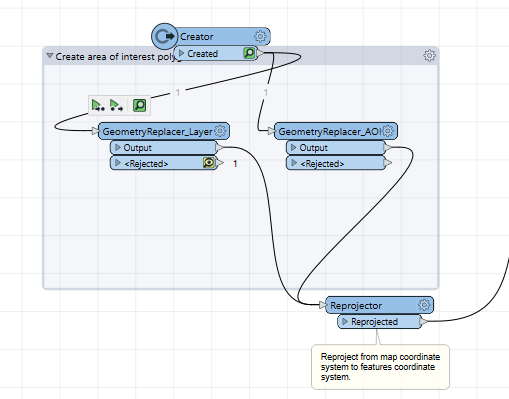
 That transformer is typically used to restore geometry previously extracted into an attribute by the
 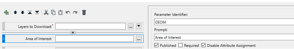 Right now the input on the app page looks like
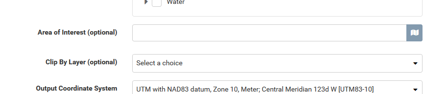
 ---
---