Question

coverage area calculation

  • February 4, 2021
  • 1 reply
  • 20 views

boubcher
Contributor
Forum|alt.badge.img+11

Hello there

we are doing some photo shooting for each road segment and we want to know if each segment have been covered by the photo shooting

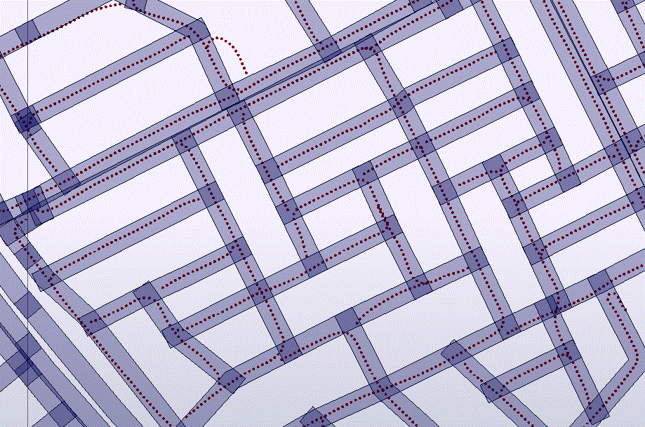
Attached you can find the road shapefile and shooting position of the camera

as an approach, we have created a buffer of the road and use the clipper to clip all point within the road then build a line and compare the length of this line and road segments, but we face many issues due to the buffer overlapping and point duplication on those buffer, I mean taken twice


if you have any other approach will be appreciated

thanks


Capture

1 reply

danilo_fme
Evangelist
Forum|alt.badge.img+45
  • Evangelist
  • February 6, 2021

Hi @boubcher​ 


Thanks your sample data. I opened the two files and inspected into FME Data Inspector.


As according your description, you created a buffer in the Road.shp and checked the points inside this buffer created.


Is the next step is create a line connecting the points?


Thanks in Advance,

Danilo


Cookie policy

We use cookies to enhance and personalize your experience. If you accept you agree to our full cookie policy. Learn more about our cookies.

 
Cookie settings