When I read data from a PostgreSQL/PostGIS database and I inspect the features using the Inspector, all attributes seems to be of data type "string: (UTF-8)" when looking at the "Feature information" panel. But when I look at the "Table view" panel, the id column (defined as serial4 in the database) is formatted as a number (the value is aligned to the right).
Boolean values are read as either "t" or "f" (still "string: (UTF-8)") while when reading boolean values from a GeoPackage they appear as "Yes" or "No" (and the data type says boolean).
If I look at the debug logging I see that a boolean postgres attribute has an entry like:
Attribute(string: UTF-8): `my-field' has value `bool,BTREE'
While a GeoPackage attribute has an entry like:
Attribute(string: UTF-8): `my-field' has value `boolean'
Is this really the expected outcome? I would expect FME to correctly identify the data types and treat boolean values identically no matter what the data source is.


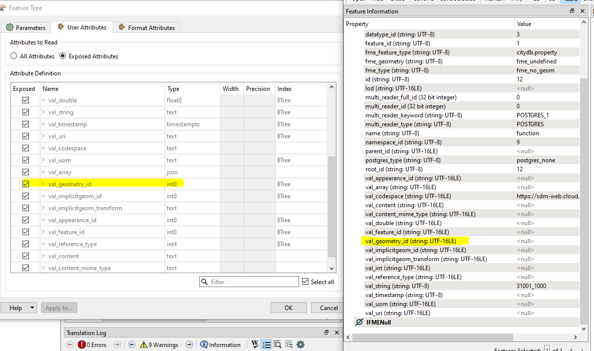 The left shows the tables schema from postgres and you can see the types match what's in the database. On the right we can see how FME is treating them internally - it shouldn't make a different to how FME works with it's transformers in the workspace.