Hi there,
I came up with a problem within one of my data translations within FME concerning arc objects. The routine is about converting a geopackage file into a filegeodatabase. The included objects and their geometry are not manipulated inbetween.
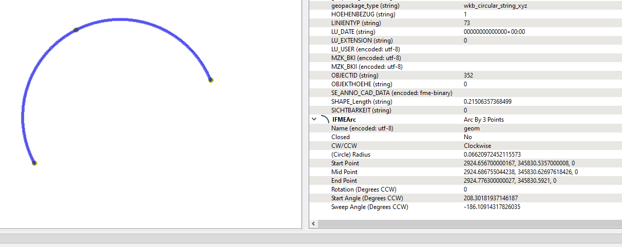
Arc objects within the geopackage-file are defined as geometry type "Arc by three points". The arc objects within the geopackage-file have all been constructed by 3 points (end, middle and startpoint). This logically means, that the arc line is intersecting with those three points.

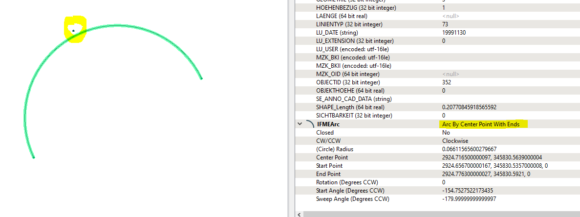
After converting this geometry to a file geodatabase, the arc geometry has changed and is within a tolerance of the arc middle point. When checking the geometry info of the same arc within the file geodatabase, it states that tie IFMEArc is "Arc By Center Point With Ends) - but, most important, the geometry has changed!

Why does FME not convert the arc geometry in the exact way into the file geodatabase? Is there any way to change the IFME Type within the file geodatabase specification to Arc by 3 points? Or is there any other way to define that new objects, who are imported into a file geodatabase keep their exact geometry??
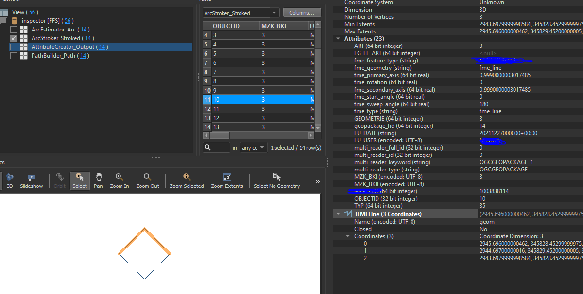
I also tried a workaround by manipulating the geopackage arc before converting:
-> ArcStroker: Arc to 2 Line segments ( start to middle point, middle to end point)
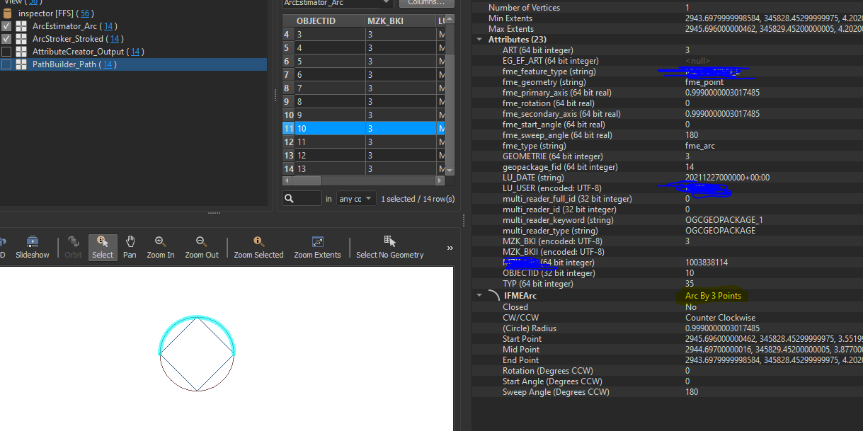
 -> ArcEstimater: Polylines to Arc
 -> PathBuilder: Arc to Line object for the database import
When inspecting the result of the path builder, the geometry is IFME Arc by 3 points.

Why does the translation into a fgdb object change the geometry of an arc object? Is there any way to translate the exact same geometry of an arc into a file geodatabase?


