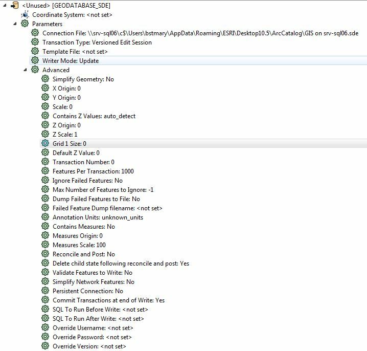
I am trying to update fields in a feature class that is attached to a geometric network. The feature class that I am writing to is a point geometry that is attached in the network to one end of a line.
The error message is this: Error while updating feature in the table/feature class 'SDE.wServiceConnection'. The error number from ArcObjects is: '-2147217384'. The error message from ArcObjects is: {}
I found a possible definition of the error online: (-2147217384) FDO_E_INVALID_CONNECTION_POINT_GEOMETRY
The geometry for a complex junction point is invalid.
It appears that the issue is that my workspace errors out when the line length is less that 0.01 foot. I have tested this by finding one that erred out and then lengthening the line and rerunning the workspace with success. While there are only a handful of these in the feature class and they could be manually fixed, this workspace runs as a scheduled task and therein lies the problem. I wouldn't know when it erred out without checking the status daily.
What I would like to do is find a way to ignore the network connection and simply update the field(s) as necessary. I have toggled Simplify Geometry, Reconcile and Post, Validate Features to Write, and Simplify Network Features with no success.

Any help is much appreciated.


