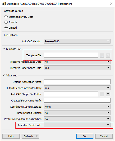
I have a workbench that I created to extract geometries in WKB format from SQL Server and write them into an AutoCAD Map DWG file. I noticed the resulting DWG file has no coordinate system assigned, and the units are set to "unitless". Although the objects are correctly positioned and the coordinates are correct, the coordinate system is not set. Is there any way to write the AutoCAD Map DWG file with the coordinate system and the units set?
I have posted this question in the Google group FME Talk. I am just trying to increase exposure to my question.
Thanks,


