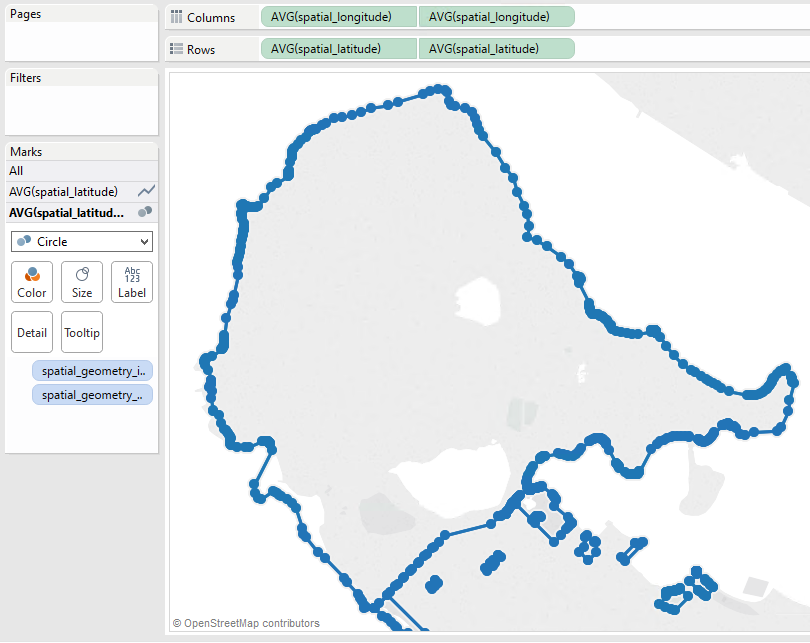
Basically converting an ESRI polygon Shapefile or FeatureClass from spatial to non-spatial in a format ready for Tableau (i.e tabular like excel or CSV). Have researched and tested some possibilities but would think there are some quick start workspaces available from Tableau and FME users.
Have some ideas that successfully converted polygon vertices to points (helpful VertexCounter)
Other transformers helpful are DonutHoldExtractor, 2DForcer, Counter, Generalizer?, CoordinateExtractor - just hoping something already exists.


