
Hello There

we have the 360 JPEG, in order to view them in 360 viewers we need to have EXIF metadata, to that we use tools with many manual steps

is there a way we could do that using FME when we read the image and save it with all the EXIF metadata

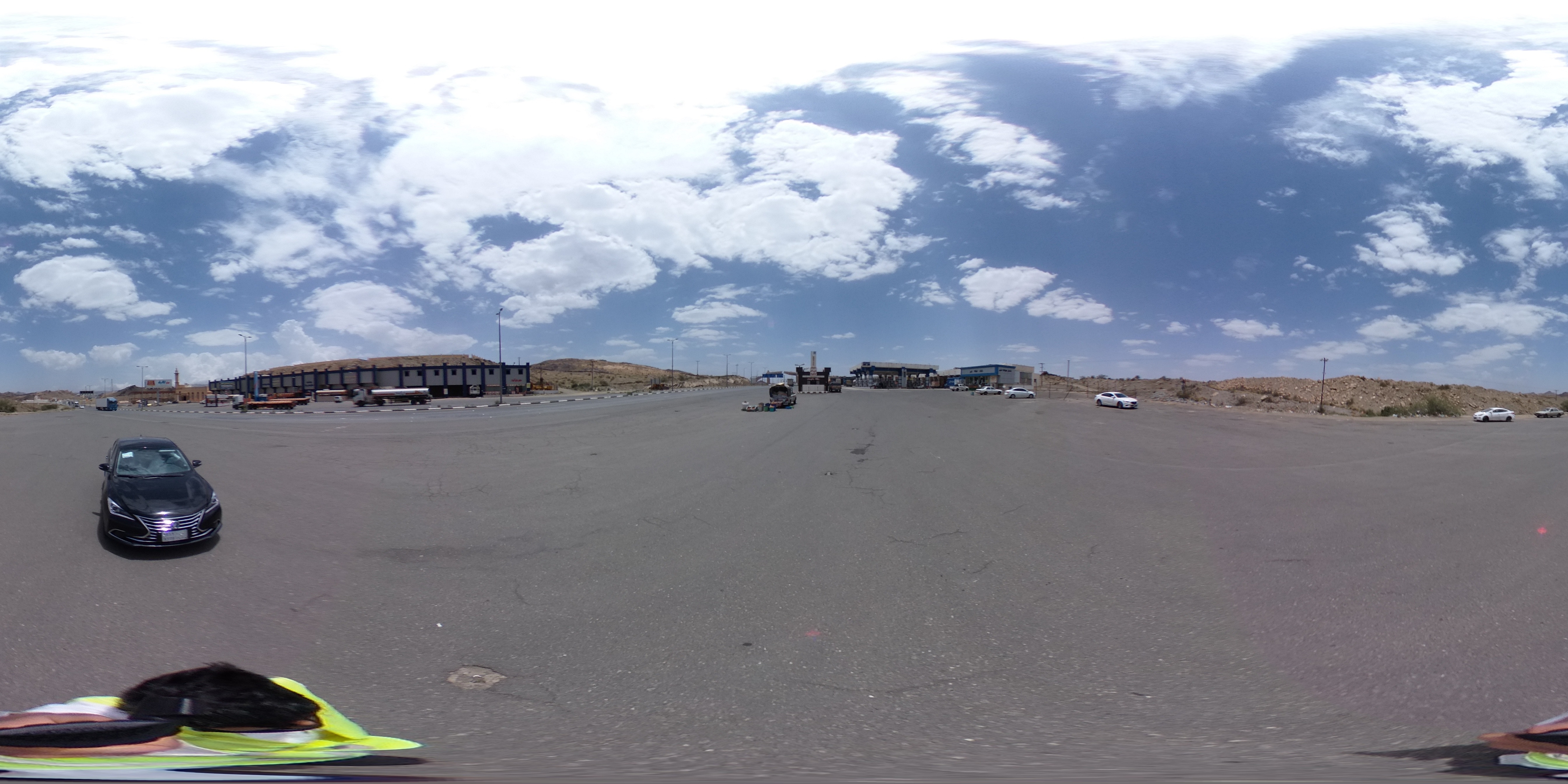
Sample image attached


Which EXIF tags are you missing?

I tried a workspace where I:

  1. Read in your JPEG
  2. Logged it
  3. Used FeatureWriter to write it to another file
  4. Used FeatureReader to read that file
  5. Logged the round-tripped feature
Attribute(string)           : `jpeg_exif_aperturevalue' has value `(2)'
Attribute(string)           : `jpeg_exif_brightnessvalue' has value `(9.94)'
Attribute(string)           : `jpeg_exif_colorspace' has value `1'
Attribute(string)           : `jpeg_exif_componentsconfiguration' has value `0x01 0x02 0x03 0x00'
Attribute(string)           : `jpeg_exif_datetime' has value `2020:06:13 12:38:20'
Attribute(string)           : `jpeg_exif_datetimedigitized' has value `2020:06:13 12:38:20'
Attribute(string)           : `jpeg_exif_datetimeoriginal' has value `2020:06:13 12:38:20'
Attribute(string)           : `jpeg_exif_exifversion' has value `0230'
Attribute(string)           : `jpeg_exif_exposurebiasvalue' has value `(0)'
Attribute(string)           : `jpeg_exif_exposuremode' has value `0'
Attribute(string)           : `jpeg_exif_exposureprogram' has value `2'
Attribute(string)           : `jpeg_exif_exposuretime' has value `(0.00025)'
Attribute(string)           : `jpeg_exif_flash' has value `32'
Attribute(string)           : `jpeg_exif_flashpixversion' has value `0100'
Attribute(string)           : `jpeg_exif_fnumber' has value `(2)'
Attribute(string)           : `jpeg_exif_focallength' has value `(2.57)'
Attribute(string)           : `jpeg_exif_gpsaltitude' has value `(2160.02)'
Attribute(string)           : `jpeg_exif_gpsaltituderef' has value `0x00'
Attribute(string)           : `jpeg_exif_gpsdatestamp' has value `2020:06:13'
Attribute(string)           : `jpeg_exif_gpsimgdirection' has value `(82.25)'
Attribute(string)           : `jpeg_exif_gpsimgdirectionref' has value `M'
Attribute(string)           : `jpeg_exif_gpslatitude' has value `(18) (24) (39.98)'
Attribute(string)           : `jpeg_exif_gpslatituderef' has value `N'
Attribute(string)           : `jpeg_exif_gpslongitude' has value `(42) (28) (22.52)'
Attribute(string)           : `jpeg_exif_gpslongituderef' has value `E'
Attribute(string)           : `jpeg_exif_gpsmapdatum' has value `WGS-84'
Attribute(string)           : `jpeg_exif_gpsversionid' has value `0x02 0x03 0x00 0x00'
Attribute(string)           : `jpeg_exif_isospeedratings' has value `64'
Attribute(string)           : `jpeg_exif_lightsource' has value `0'
Attribute(string)           : `jpeg_exif_make' has value `RICOH'
Attribute(string)           : `jpeg_exif_maxaperturevalue' has value `(2.14)'
Attribute(string)           : `jpeg_exif_meteringmode' has value `5'
Attribute(string)           : `jpeg_exif_model' has value `RICOH THETA V   '
Attribute(string)           : `jpeg_exif_pixelxdimension' has value `5376'
Attribute(string)           : `jpeg_exif_pixelydimension' has value `2688'
Attribute(string)           : `jpeg_exif_resolutionunit' has value `2'
Attribute(string)           : `jpeg_exif_scenecapturetype' has value `0'
Attribute(string)           : `jpeg_exif_sensitivitytype' has value `1'
Attribute(string)           : `jpeg_exif_sharpness' has value `0'
Attribute(string)           : `jpeg_exif_software' has value `RICOH THETA V Ver 3.04.1'
Attribute(string)           : `jpeg_exif_whitebalance' has value `0'
Attribute(string)           : `jpeg_exif_xresolution' has value `(300)'
Attribute(string)           : `jpeg_exif_yresolution' has value `(300)'

The only difference I saw in the two logs was that FME didn't write:

Attribute(string)           : `jpeg_exif_imagedescription' has value `'

Which I assume is because it was empty.

@jakemolnar

Thanks for your response 

then do we have to add this attribute to the output??


@jakemolnar

Thanks for your response

then do we have to add this attribute to the output??


You can expose these attributes from the Reader settings "Format Attributes" tab if you like, or with an AttributeExposer transformer.

As long as these attributes exist on a raster feature that you send to a JPEG Writer, then they will be written as EXIF tags on the destination .jpg file.


Reply