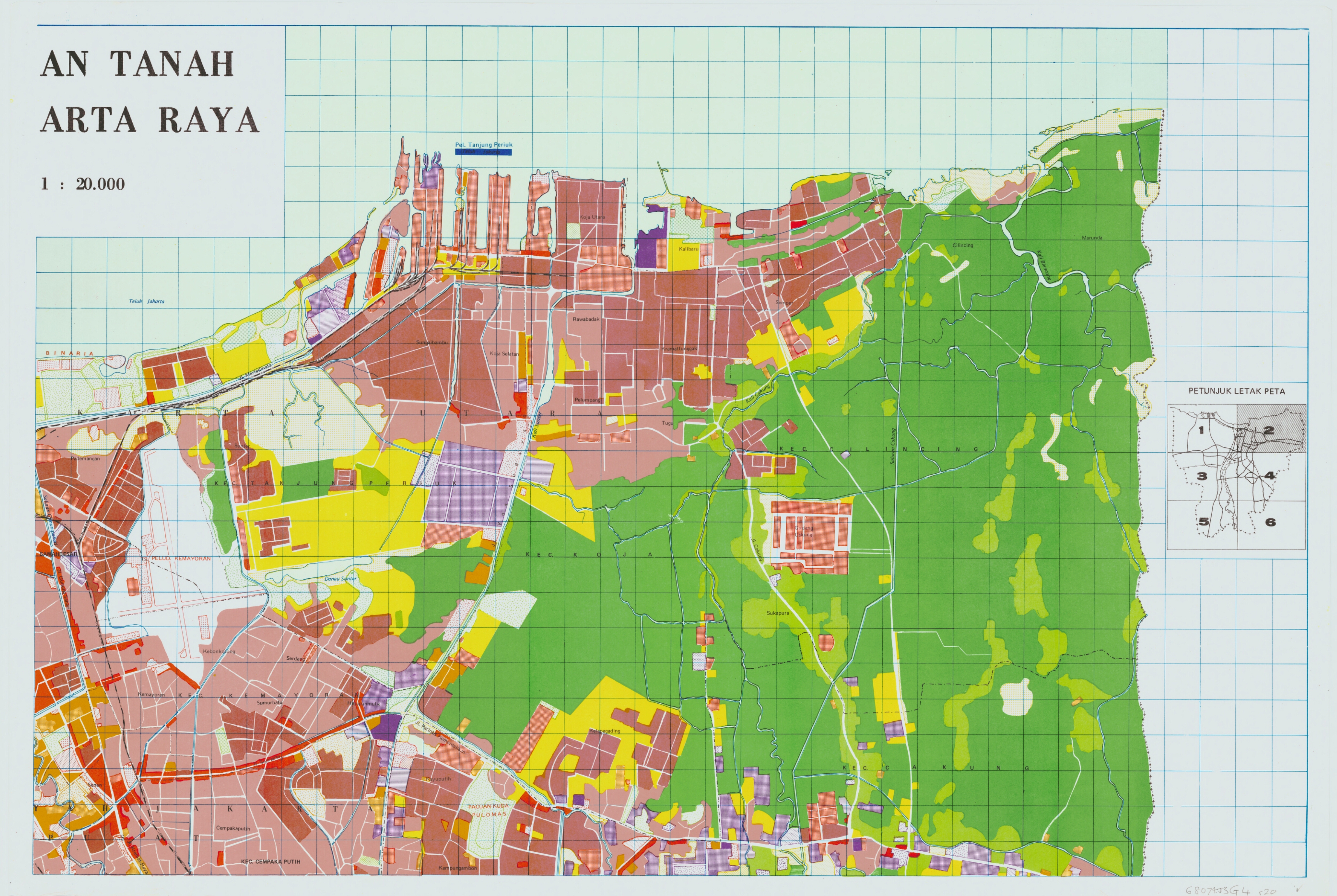
 I have a raster maps (old land use maps) that I want to digitize into shapefiles for ArcGIS. I am new to FME and not familiar with the interface. Is there a way to do this efficiently? I have attached the map to this message. The map jpeg is geo-coded. It also has a blue grid overlayed that does not need to be digitized. I would like to retain the different colors as separate layers.

Question
Is there a way to use FME to convert a jpeg map (Raster) into a shapefile in ArcGIS?
This post is closed to further activity.
It may be an old question, an answered question, an implemented idea, or a notification-only post.
Please check post dates before relying on any information in a question or answer.
For follow-up or related questions, please post a new question or idea.
If there is a genuine update to be made, please contact us and request that the post is reopened.


Login to the community
No account yet? Create an account
An FME Account is required to contribute
LoginEnter your E-mail address. We'll send you an e-mail with instructions to reset your password.