Hello,


I'm searching for a way to obtain the external shape of a laz file and turn it into a line or polygon for and shp output.

I've found something but it force me to "convert" in fme the point cloud entity to a multiple point entity. The issue with that method is that is that take a long time to process and that is not adapted to my data covers entire cities and has billions of points.

Do you have any Idea on how can I proceed ?

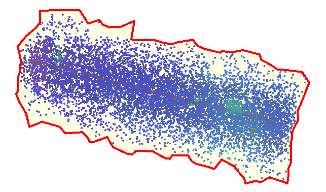
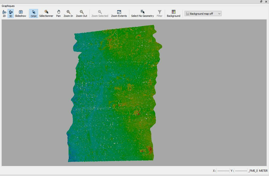
Here an exemple of the kind of data i have :
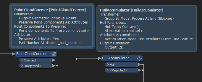
Try using a PointCloudCoercer to create individual points and then a HullAccumulator with a Concave )( hull type. You may want to use a PointCloudThinner to sample down your data depending on how much horsepower your PC has.


Results


Try using a PointCloudCoercer to create individual points and then a HullAccumulator with a Concave )( hull type. You may want to use a PointCloudThinner to sample down your data depending on how much horsepower your PC has.


Results

Thank you for your answer :)

Yeah that is the "solution" I'm talking about in the 1st message but i want to avoid it for performance reason.

If I have no other choise I will use it but I'm looking for more optimized solutions if they exist.


Thank you for your answer :)

Yeah that is the "solution" I'm talking about in the 1st message but i want to avoid it for performance reason.

If I have no other choise I will use it but I'm looking for more optimized solutions if they exist.

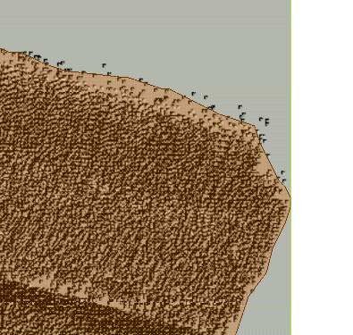
Alright, I got 10 million points in about 10 seconds on my slow old machine. I didn't thin the point cloud. Attached .fmw


You could also use Python and arcpy to do something similar using Spatial Analyst.


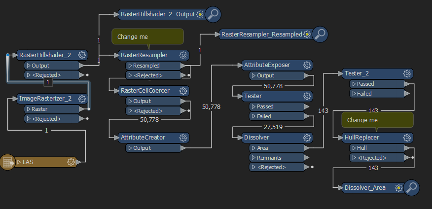
Convert the point cloud to a raster, convert to hillshade, resample the image, convert to polygons, expose the band values, test out the interior polygons, dissolve, test out random polygons, and replace hull.


Reply