Hi all,


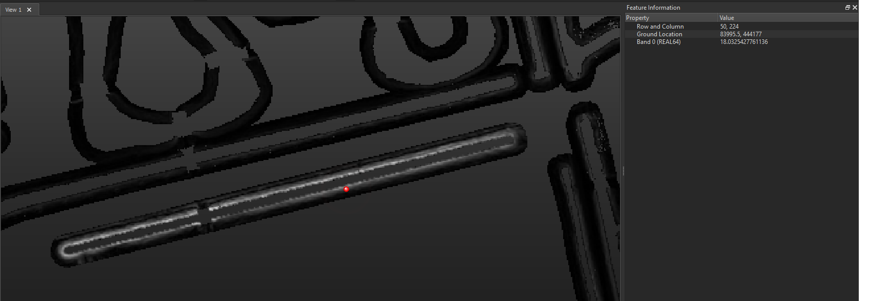
I am trying to make a .shp from the areas with a minimum slope (DEM). The picture shows the output of the RasterSlopeCalculator (its about areas around water). I need to find a way to identify the transitional value of slope where the colour white turns to black, and then filter out the black areas.


If someone has an idea, or knows if this is even possible, please let me know! :)


Thanks.
There's two things you can try:

  1. Use a RasterToPolygonCoercer to create polygons of the pixels, if you set it to preserve attributes you can then use a TestFilter to select the ones you want (you'll have to inspect the data and do a bit of trial and error to find the right values)
  2. Use a TINGenerator to create a TIN (triangulated irregular network), which will add a slope attribute to every triangle. Again use a TestFilter to select the ones you want.

@ymor_v


Your DEM contains slope info in Band0 which is displayed in greyscale (not black and white).

You can use a rasterexpressioncalculator to select cells based on that info. (if you need polygons, you can turn the result inot that.)


There are samples on the forum, tutorials on the knowledge base.

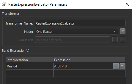
Thank you. Just I cannot find an article on how to select raster pixels by greyscale. Let's say I want to select everything with a band value lower than 8, should it look something like this?


Thank you. Just I cannot find an article on how to select raster pixels by greyscale. Let's say I want to select everything with a band value lower than 8, should it look something like this?


Hi @ymor_v,

Here are some articles that show the transformer in use:

Hope that helps a bit!


Reply