Hi,
I'm constructing a workspace to import some XML files, and converting them to proper spatial features for storing in SQL Server. The XML format gives me some headaches, unfortunately.
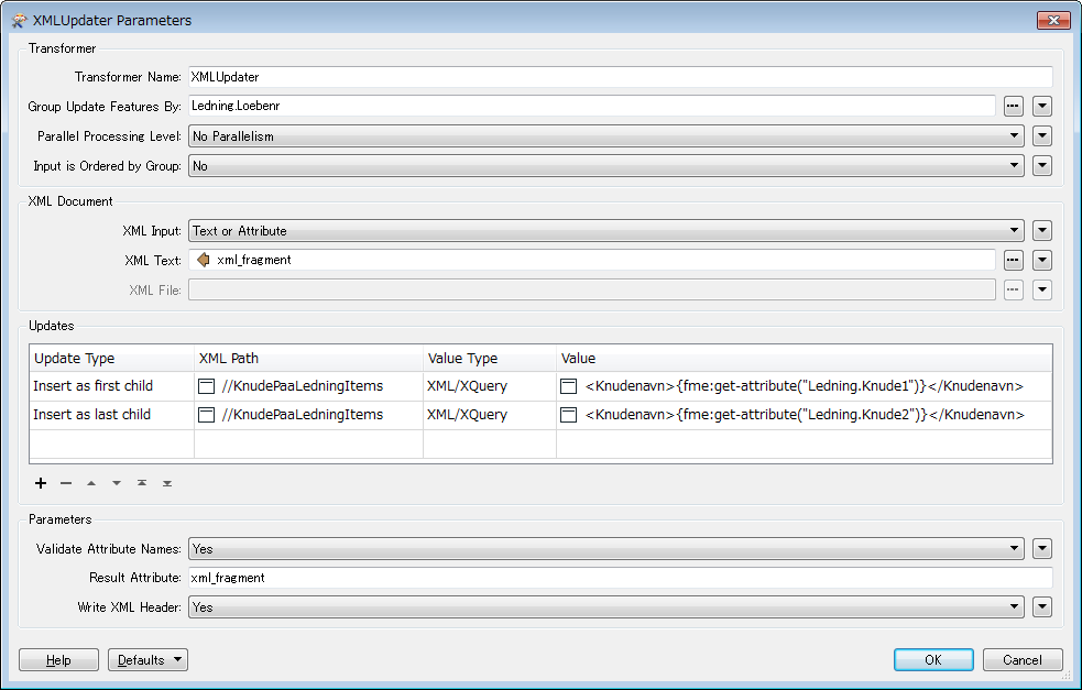
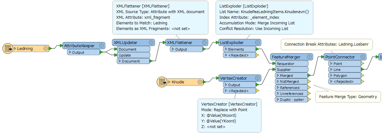
One of the XML files contains named nodes with XY attributes, the other file contains polylines with references to the named nodes. I got the start and end points handled, but the intermediate points are stored as an XML group of node names with zero or more items. The order of these are of course important.
When importing the XML these items get converted into a list attribute, but what is the best way to convert this list of names to intermediate nodes in the geometry ?
I've twisted and turned my head around this problem, but I can't decide whether the best course of action is to create helper features from the list, or create a list from the XY node features, or something entirely different. And if it's at all possible or feasable to handle fetching the XY via node names in a custom transformer.
Can I handle this with the simple XML conversion I've used sofar, or must I go into xfMap etc. to accomplish this ?
I'm fairly new to XML handling, so I need your advice on this.
Cheers
Lars


