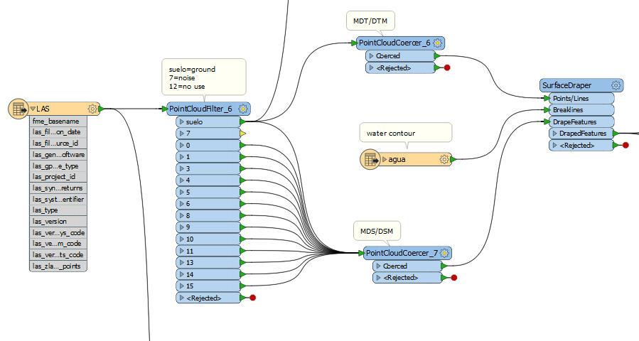
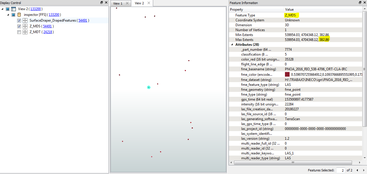
hola, queria saber de la manera mas fácil, como restar de dos ficheros lidar los valores de las Z. Realmente es el mismo lidar, lo que uno es solo con la clasificación 2, el otro con todas las clasificaciones. donde el resultado sea que se represente las alturas o elevaciones de los objetos respecto al suelo. he llegado poder hacer la resta de las Z, pero no he podido cambiar el valor de la Z calculada con la que tiene el punto. ¿como puedo cambiar la geometría de la z vieja con la calculada?
Hello, I wanted to know in the easiest way, how to subtract from two LIDAR files the values of the Z. It is really the same lidar, what one is only with the classification 2, the other with all the classifications. where the result is that the heights or elevations of the objects are represented with respect to the ground, I have come to be able to do the subtraction of the Z, but I have not been able to change the value of the calculated Z with the one that has the point originally. How can I change the geometry of the old z with the calculated one?


