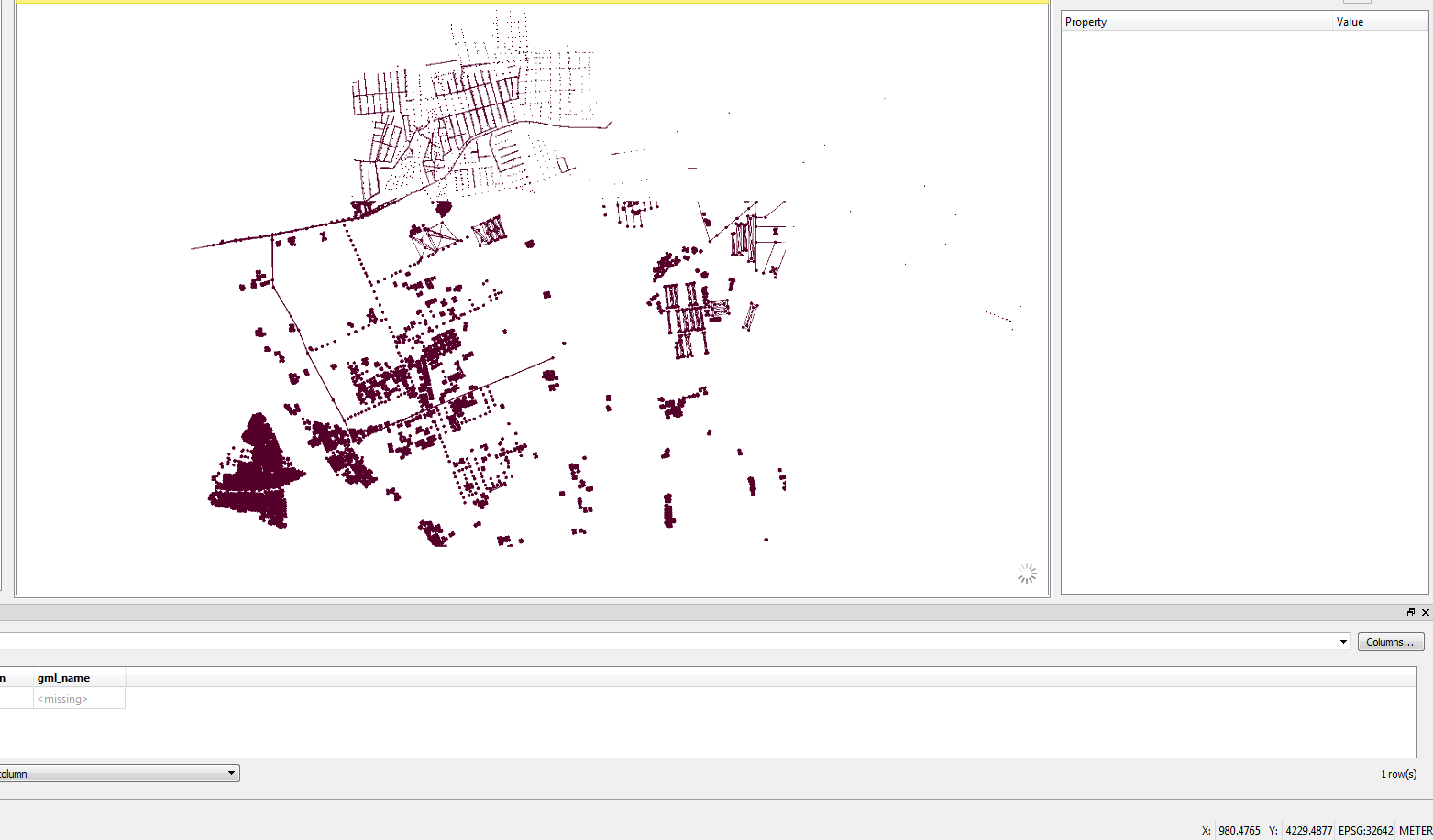
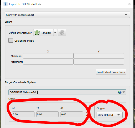
I got exported FBX file from INFRA WORKS 360 with actual coordinates system, but when i got convert that file into citygml by using fme that coordinates value change to LOCAL values, Even I did inspect of the reader file .fbx its on local coordinates value. My question is How to read the fbx file with actual coordinates system by suing fme
Note: I have supporting file for fbx is .pos file, In FME there is no option to add the .pos file while using the reader for FBX....

,


