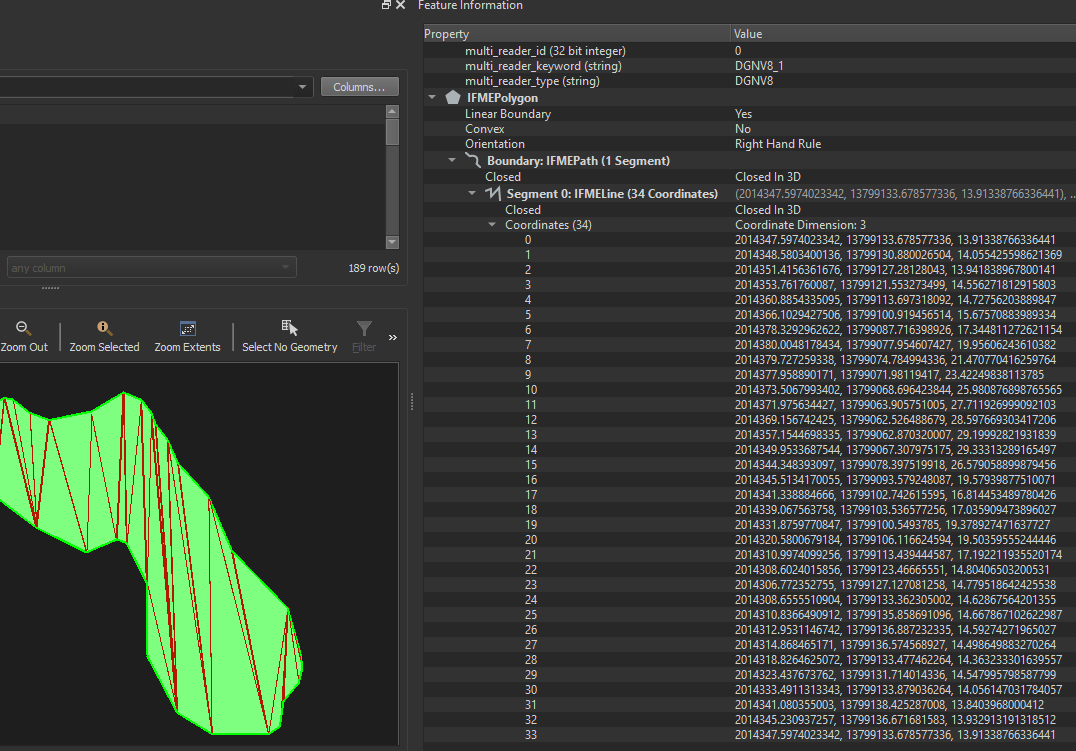
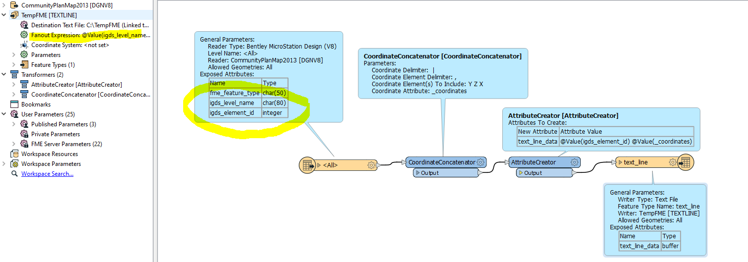
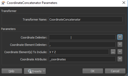
For extracting the tab delimited coordinates, I would use the CoordinateConcatenator transformer.
Then adding the id attribute can be done with the AttributeCreator, AttributeManager or StringConcatenator transformers (any of these will be able to do so).
Writing the data to different files can be done using the Fanout option (see the Text writer in the Navigator window), choosing the igds_level_name attribute as the Fanout expression.
I attached a workspace example: dgnv82textline.fmw
Hope this helps
Thanks Erik - that worked great - just need some minor formatting tweaks
- change the coordinate delimiter | to an enter "next line" so that the next consequent coordinate is assigned its own number ID (this applies only to polygons/shapes)
- drop it to 3 decimals?
thanks
right now it looks like this: (2 coordinates for this line)
403657 2014027.2555011988,13798531.990937235,25.03747374534607 |2014001.3199832845,13798529.703414556,26.174532392024993 95 Driveway Edge
final to look like this :
1 13798484.859 2014508.926 24.610 2
I was able to add @Value(igds_level_name) which added the 2 (+text) at the end
can the | be changed to new line/ID
and the , to TAB i did not see the option in the menus for these
I am going to start studying up on FME more - this is awesome
thanks again for your help