
Main question: how to create polygons at point locations

Within FME 2024.0 I created a point dataset of cross sections with 866 points.
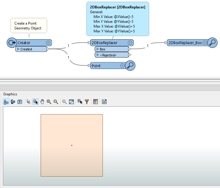
At each location I want to create a square, which is sized 10 by 10 meters. The current points should be in the centre of the squares.

Any suggestions how to achieve this?
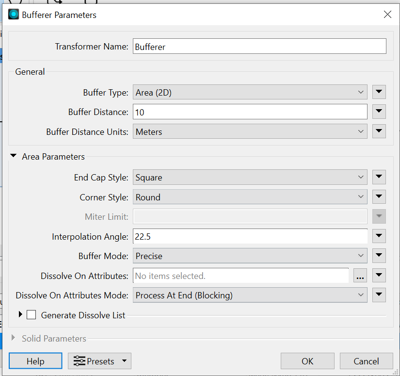
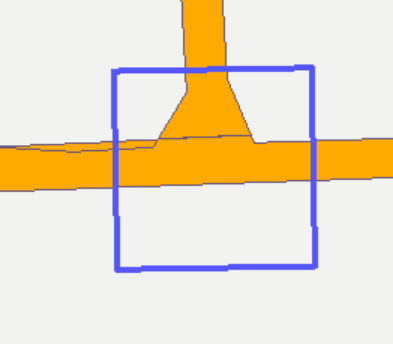
I tried the Bufferer but did not find the right settings yet to get a nice square at each point location. 

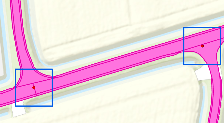
Output should be like the blue squares in this image:


What are your current settings on the Bufferer? Are you using End Cap Style Square?


@liamfez my current settings of the buffer, I already used the Square option :)


Current output, almost there, but the square is just a bit tilted


Note that the tilting may be due to the projection to the coordinate system of the background map, if you use feature information to inspect those boxes you can check the actual coordinates of the corners.


You can also use the 2DBoxCreator.


Reply