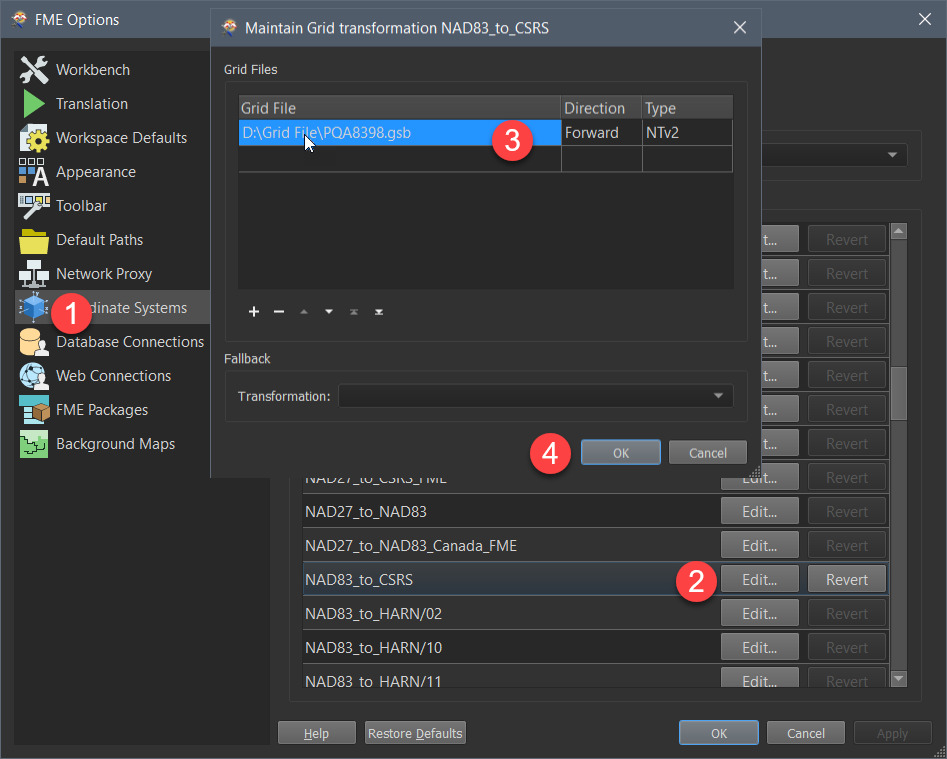
Hello! I have a large CSV of thousands of properties in Edmonton that are in Lat Long, I want to convert these into UTM and then into UTM zone 12 N and show them in Arc, and advice? never used this software before

Question
COnverting Lat Long to UTM from an Excel Spreadsheet
This post is closed to further activity.
It may be an old question, an answered question, an implemented idea, or a notification-only post.
Please check post dates before relying on any information in a question or answer.
For follow-up or related questions, please post a new question or idea.
If there is a genuine update to be made, please contact us and request that the post is reopened.


Login to the community
No account yet? Create an account
An FME Account is required to contribute
LoginEnter your E-mail address. We'll send you an e-mail with instructions to reset your password.