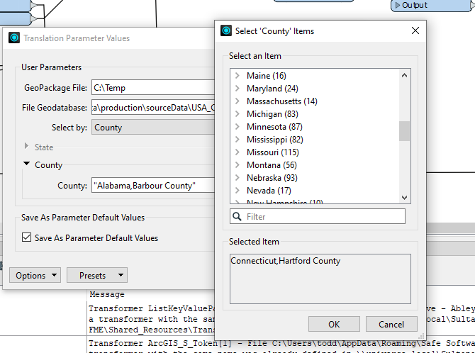
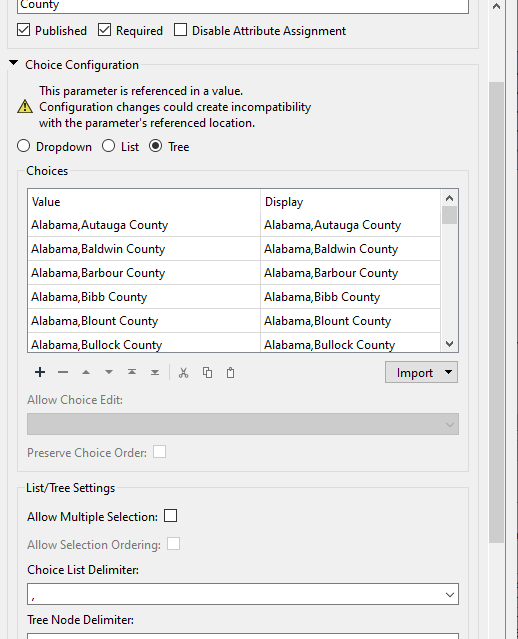
I would like to either return a kmz county outline (polygon) or be able to use a polygon as input to an workspace app by typing the name of the county filter first on state then on county.
I currently have a workspace app that accepts drag and drop kmz files. it filters lines points and polygons and buffers or not around the features then it hull accumulates or not. Then it does a spatial filter on a postgis db to return an aggregated table to excel file and creates a download.
I recently added the kmz creation of the non aggregated features to the download.
I have set up a few of the kmz county outlines but wondered about just making a dataset available and then punching in the county name to do the query for the input.
I would also (pie in the sky) like to keep the drag and drop (AOI) kmz input to this app.
Is this something someone has done?


