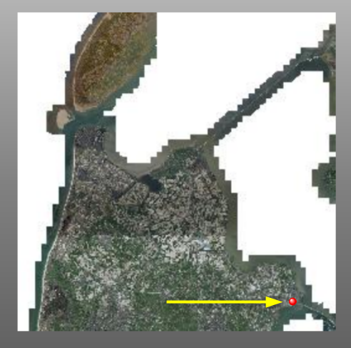
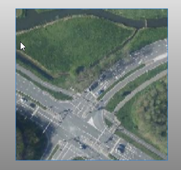
What I try to do is to download a raster from a WMTS to use it as a background image for a report. I do not want to download the entire service, only a part to use as background. The result I get is only working on very zoomed out tile matrices, like 04, where the resolution is not useful:


On deeper levels the FeatureReader is downloading a lot of tiles, which takes a very long time.
The WMTS I use is a Dutch one, in epsg:28992. I wonder if I am doing something wrong, or this is never developed / tested for this coordinate system?
The point is on 147513.92, 523126.09.
The WMTS is https://service.pdok.nl/hwh/luchtfotorgb/wmts/v1_0?
The Layer is Actueel_orthoHR
Attached the 2023 workspace.


