Dear,


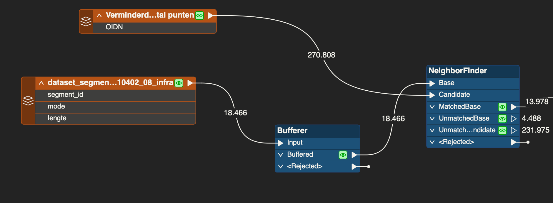
I want to link all the lightposts to the nearby road segment. I used a buffer around the road segments and then Neigborfinder to do this. Now I am afraid that some lightposts are not linked to the roadsegment but I am not eager to increase the buffer or neigborfinder because maybe lightposts that should not be linked will be included. Is there maybe another way to bypass this? Or some tips you could give me?

Not sure what you need exactly, can you elaborate more? If a point is not matched to a road segment, it is not matched to a road segment. If you increase the distance enough it will be matched.

Also, I think it need so be the other way around. I think the points need to be the bases and the road segments the candidates. And why do you want to use the NeighborFinder and buffer the road segments? Because this introduces 2 distance variables.

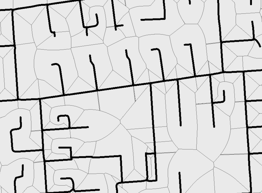
A different approach could be to use the road segments to create voronoi areas and then spatial relate the points to the areas.


So for every roadsegment I want to know how many lightposts it has. But I do not want to link lightposts that are not next to the roadsegment. 


I do not know why i choose for buffer and neighborFinder. I think it was because the buffer expands in all dimensions but i do not need lightposts that are not parallel to the road segment. Or does the neighborfind do the same thing?


I think the buffer introduces new problems as the buffers overlap.

The Voronoi route is not a better solution, it is exactly the same result as the NeighborFinder as it finds the road closest to the point, but it is more visual.

I think you will have to work with the Neighborfinder with a maximum distance (I always use unlimited max distance and split on the _distance attribute afterwards.) and then see what the not matched points are and go from there. This kind of stuff is generally 80% automatics work and 20% manual cleanup.


I think I did not have problems with buffer overlap (or I hope so), do you suggest i only work with the neigborfinder then?


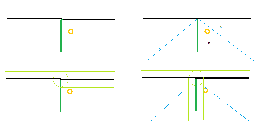
Without buffer everything in area ‘a’ will find the green line as nearest neighbour. With a buffer you get overlapping features and for example lightposts that are within the overlap.

Only if you want to account for street-width a buffer could be some kind of solution. Then you should trow away all overlapping area's i think. These area’s are the middle of the crossing and don't belong to a single road.


Edit: Reading your question for the second time I think you are worried that lightposts that are far away from the road are still mapped to a road. For this the search distance of the neighbor finder is a fine solution.


Reply