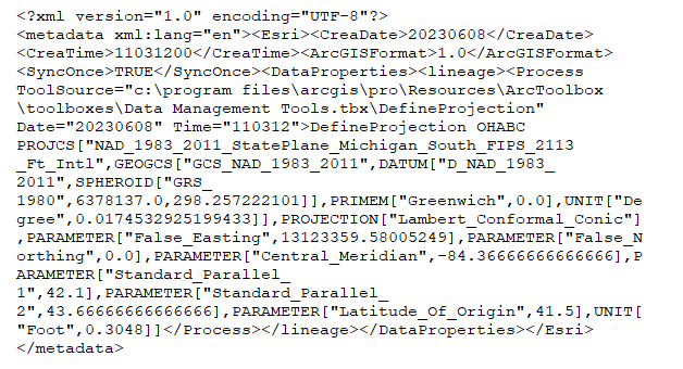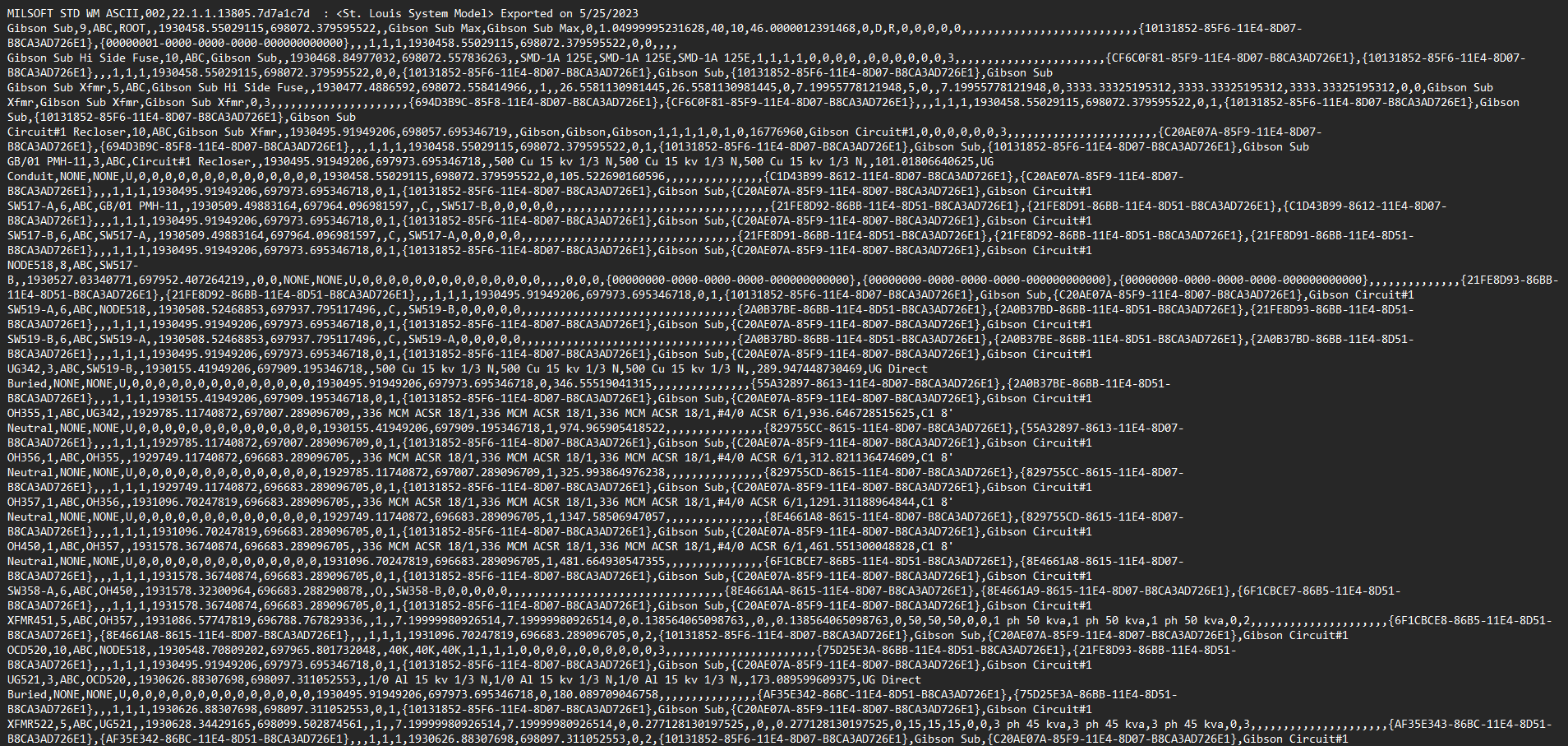



I am working with data that was exported out of Milsoft. When read into FME these layers show up in central Africa. I used the CsmapReprojector to set the coordinate system to MI83-SIF. I have had success with this method before, but the layers are showing up off the coast of California now. Is there a different routine I should be running these layers through to get them in the right place (central Michigan)?

Question