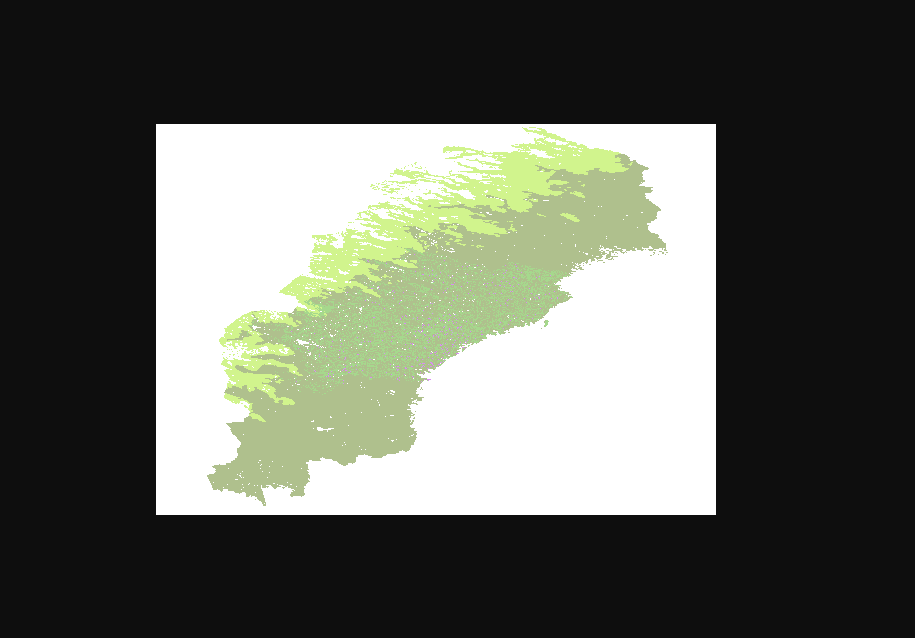
I have a WMS that I can open in e.g. QGIS. Both the FeatureReader and the OGC WMS reader can show me the different selectable layers in "Properties". But when I start the translation, I get a 404 error saying it cannot be found. This is the WMS I'm trying to read: https://geodata.naturvardsverket.se/planeringsunderlag_o_strategier/wms?layers=Sannolikt_och_potentiell_kontinuitetsskog
Why and what can I do about it?


 My guess is that the GetCapabilities document is wrong and needs to be fixed, but I'm not 100%. Likely QGIS is not using the URL provided in the GetCapabilites document but the one provided.