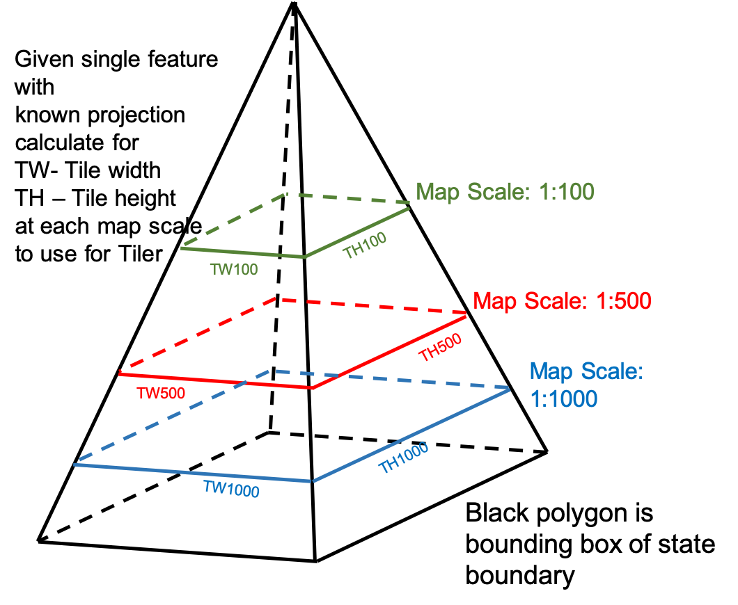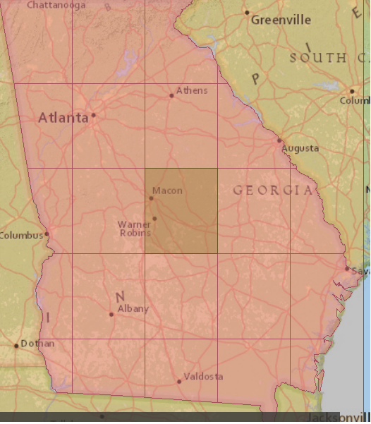


I have a state boundary and I want to use a map scale as a parameter to calculate the Tile width and Tile height (ground units) as attributes for the Tiler.
Given a coordinate system, how do I calculate that width and height of that bounding box at a scale of 1:100 using an Expression Evaluator? Then do it again for the next scales 1:500, 1:1000, etc.