Question

Transforming 1 Geometry layer and 2 Text layers from CAD to GeoJSON File

  • May 6, 2020
  • 3 replies
  • 53 views

chashemi

Hello,

I have a DWG file with rooms drawn as closed polylines (all on one layer), and within each polyline, there are 2 text labels (on 2 different layers).

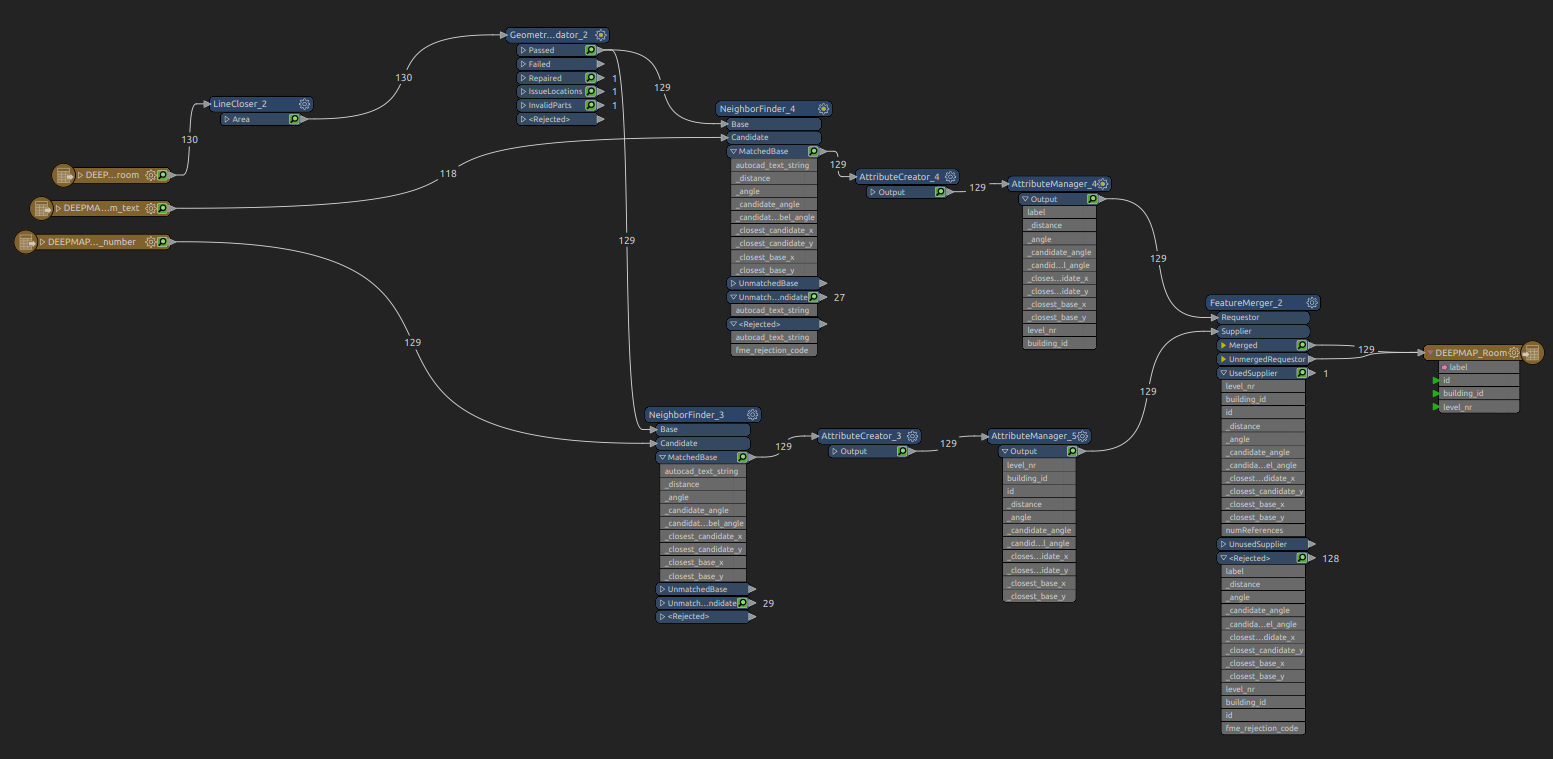
I'm trying to transform these 3 layers into a single GeoJSON file, where the room polylines would populate the "geometry", and the 2 text labels would populate 2 different "properties" ('id" and "label").

I tried doing this using the FeatureMerger tool, however this doesn't produce the result I'm looking for, as the attributes from the Supplier ("id") are merged. The current result is that all the features in the GeoJSON have the same value for "id", which is not what I'm trying to achieve. I simply want to transform all the rooms to geometries and the 2 text labels to properties of the geometries.

I'm sure I'm missing something simple, but is there a way to get the result I'm looking for? Here's a screenshot of my current workflow below:

This post is closed to further activity.
It may be an old question, an answered question, an implemented idea, or a notification-only post.
Please check post dates before relying on any information in a question or answer.
For follow-up or related questions, please post a new question or idea.
If there is a genuine update to be made, please contact us and request that the post is reopened.

3 replies

Hi @chashemi, would it be possible for you to share your workspace .fmw file and some sample data, so we can take a closer look at it? Thanks.


fmelizard
Safer
Forum|alt.badge.img+20
  • Safer
  • 3719 replies
  • May 8, 2020

This is a definite classic case of CAD->GIS (and your timing couldn't be better because we're preparing for a webinar on this topic https://www.safe.com/webinars/how-to-automate-cad-gis-integration/ for next Wed, May 13). I'd love to show this example if you're able to share data with us.

Actually, without seeing the data it is hard to know exactly the best way to get the results you seek, so if you can share screenshots or ideally the input, that would help. But from your description, I'd suggest that PointOnAreaOverlayer would be a safer way to combine things, and if you renamed the text string attributes from your text layers ahead of time, it should combine everything into what you need. NO matter what I may show an example like this at the webinar.


Thanks.

chashemi
  • Author
  • 2 replies
  • May 14, 2020

Hello @daleatsafe, @alyssaatsafe - thanks very much for your help and suggestions. The PointOnAreaOverlayer transformer was the missing link.