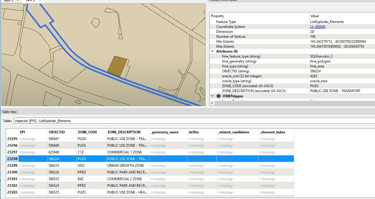
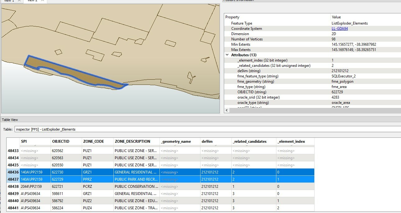
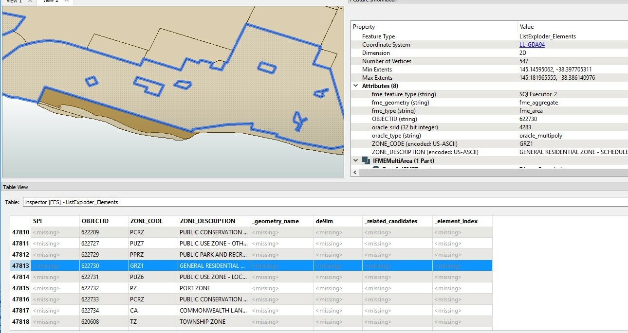
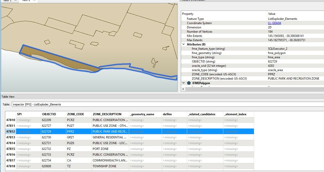
Hi,
I am working for finding related geometry data between Parcel and Planning Zone. Aiming is for finding multiple Planning Zone which is overlapping with Parcel. But all data are not calculated because of "INVALID_BASE_GEOMETRY_TYPE". I have not idea why is invalid geometry type. And Parcel is Polygon Type and Planning Zone is GEOMETRYCOLLECTION (POLYGON ...). Any idea what can to fix this process will be great for me. Thanks.
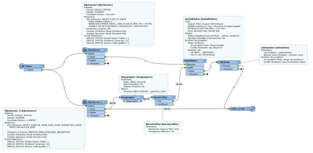
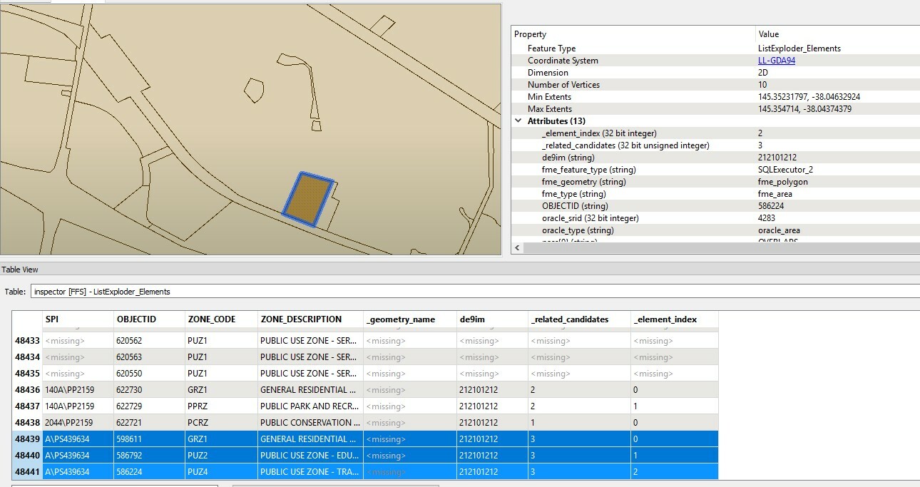
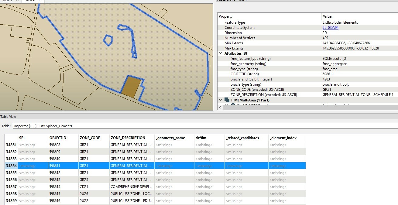
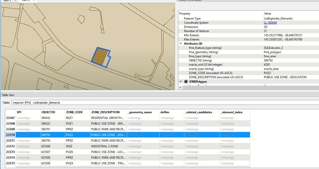
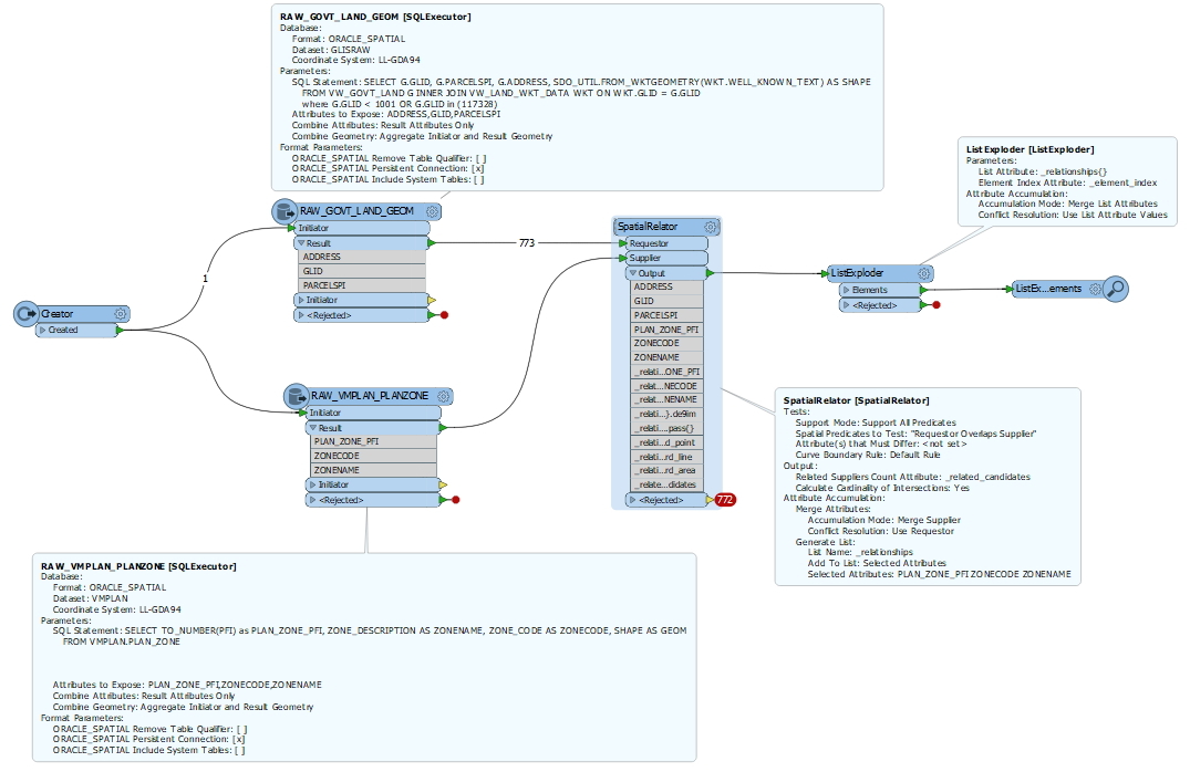
And I've attached FME Wokspace and below are Error log and Sample data for Parcel and Planning Zone.
==============================================================================
- Sample Data
. Parcel
POLYGON ((143.82624186 -37.5940732299999, 143.8259628 -37.59404054, 143.82595252 -37.5940960899999, 143.82594294 -37.5941478199999, 143.826222 -37.5941805099999, 143.82624186 -37.5940732299999))
. Planning Zone
GEOMETRYCOLLECTION (POLYGON ((146.455556005 -37.143706338, 146.45550502 -37.1436816799999, 146.455434477 -37.1436527879999, 146.455345498 -37.1436179469999, 146.455263636 -37.14358784, 146.455192521 -37.143561736, 146.455083973 -37.1435227549999, 146.455001462 -37.1434933539999, 146.454901989 -37.1434578409999, 146.454829829 -37.143434525, 146.45476054 -37.1434122119999, 146.454688435 -37.1433934099999, 146.454610291 -37.143375297, 146.454540243 -37.1433565889999, 146.454487201 -37.1433475109999, 146.454421036 -37.143341526, 146.454344289 -37.1433369449999, 146.454275517 -37.143332933, 146.454160765 -37.1433434899999, 146.454094908 -37.143360125, 146.454026532 -37.1433790959999, 146.453942459 -37.1434123229999, 146.453863875 -37.1434425149999, 146.453788327 -37.1434767699999, 146.453687369 -37.143531187, 146.453645107 -37.143560206, 146.453576533 -37.1436177429999, 146.453535294 -37.1436609909999, 146.453485552 -37.1437204229999, 146.453449604 -37.1437746949999, 146.453420179 -37.143824488, 146.45339401 -37.1438742039999, 146.45337289 -37.1439196119999, 146.453353508 -37.143966387, 146.453305746 -37.1440878349999, 146.453264342 -37.1441393709999, 146.453211663 -37.144182483, 146.453151812 -37.1442167289999, 146.453099815 -37.1442299129999, 146.453037434 -37.1442272859999, 146.452988253 -37.1442103799999, 146.452988129 -37.144319244, 146.452987192 -37.145142654, 146.452987065 -37.1452539589999, 146.453160612 -37.1452637249999, 146.453284241 -37.1452578089999, 146.453394659 -37.1452417359999, 146.453447767 -37.1452302609999, 146.453543511 -37.1452014119999, 146.45358981 -37.145180986, 146.453647428 -37.145148176, 146.453701196 -37.145107954, 146.45373336 -37.1450760189999, 146.45377824 -37.145020175, 146.453808006 -37.144973901, 146.453827212 -37.1449380299999, 146.453846759 -37.1448928789999, 146.453869551 -37.144821334, 146.453890286 -37.1447538359999, 146.453962721 -37.1445055249999, 146.454007249 -37.1443433279999, 146.45402871 -37.144265553, 146.454050303 -37.1442059, 146.454071346 -37.1441571519999, 146.454092455 -37.14411444, 146.454123002 -37.1440633039999, 146.454153395 -37.1440199109999, 146.454188914 -37.1439751079999, 146.454220836 -37.1439390259999, 146.454260678 -37.14389865, 146.45432494 -37.143845509, 146.454400565 -37.1437990819999, 146.454449944 -37.1437757919999, 146.454524612 -37.1437488299999, 146.454582373 -37.1437339459999, 146.454640662 -37.1437236699999, 146.454718146 -37.1437173539999, 146.454758648 -37.143715739, 146.454867647 -37.1437162409999, 146.45499319 -37.143725837, 146.455096975 -37.143741996, 146.455234112 -37.143768396, 146.455338601 -37.1437901479999, 146.455438261 -37.1438108799999, 146.455480908 -37.143820714, 146.455518407 -37.143821615, 146.455556654 -37.143810344, 146.455581096 -37.1437935989999, 146.455602029 -37.143761979, 146.455589577 -37.143725242, 146.455556005 -37.143706338)))
- Errors
The below feature caused the translation to be terminated
Storing feature(s) to FME feature store file `C:\\GIT\\GLIS2\\GLIS.ETL\\GLISRAW.FME\\LOAD_DATA_GOVERNMENTLANDPLANNINGZONE_New_log.ffs'
+++++++++++++++++++++++++++++++++++++++++++++++++++++++++++++++++++++++++++
Feature Type: `FEATURE_TYPE'
Attribute(encoded: UTF-8) : `ADDRESS' has value `37 FAIRHOLME BOULEVARD BERWICK 3806'
Attribute(64 bit integer) : `GLID' has value `117328'
Attribute(encoded: UTF-8) : `PARCELSPI' has value `A\\PS439634'
Attribute(string) : `fme_feature_type' has value `RAW_GOVT_LAND_GEOM'
Attribute(string) : `fme_geometry' has value `fme_aggregate'
Attribute(string) : `fme_rejection_code' has value `INVALID_BASE_GEOMETRY_TYPE'
Attribute(entangled: string): `fme_type' has value `fme_collection'
entangled to [oracle_type]
Coordinate System: `LL-GDA94'
Geometry Type: IFMEAggregate
Front Appearance Reference: `<inherited_or_default_appearance>'
Back Appearance Reference: `<inherited_or_default_appearance>'
Number of Geometries: 2
--------------------------------------
Geometry Number: 0
Geometry Type: IFMEPolygon
Boundary:
Geometry Type: IFMELine
Number of Coordinates: 10 -- Coordinate Dimension: 2
(145.35239352,-38.04556378)(145.35231797,-38.0457355099999)(145.35380739,-38.04632924)(145.354714,-38.04414865)(145.35458455,-38.04411304)
(145.3532424,-38.04374379)(145.35318438,-38.0437659899999)(145.35252463,-38.0452657599999)(145.35246905,-38.0453921)(145.35239352,-38.04556378)
--------------------------------------
Geometry Number: 1
Geometry Type: IFMENull
===========================================================================
SpatialRelator_<Rejected>(TeeFactory): SpatialRelator_<Rejected>: Termination Message: 'SpatialRelator output a <Rejected> feature. To continue translation when features are rejected, change 'Workspace Parameters' > Translation > 'Rejected Feature Handling' to 'Continue Translation''
SpatialRelator_<Rejected>: Termination Message: 'SpatialRelator output a <Rejected> feature. To continue translation when features are rejected, change 'Workspace Parameters' > Translation > 'Rejected Feature Handling' to 'Continue Translation''
SpatialRelator(SpatialRelationshipFactory): A fatal error has occurred. Check the logfile above for details
FeatureReader is creating an aggregate from features with different coordinate systems: '' from the Initiator feature and 'LL-GDA94' from the read feature. The aggregate will be tagged with the coordinate system from the read feature. The Initiator geometry is not reprojected


