

Hi,
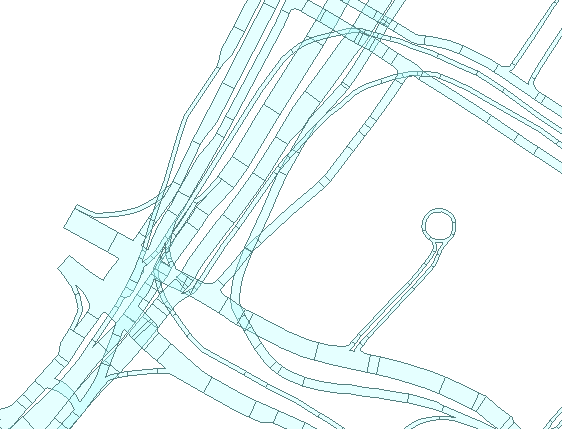
I have a street network of 3D polygons and the set is not 100% topologically correct. There may be small gaps or overlaps between consecutive road polygons. And normally two consecutive polygons should share the same set of vertices at their junction (materialized by the line separating 2 adjacent polygons).
 This would be very easy to solve in 2D using transformers such as the Snapper, AreaOnAreaOverlayer, AreaGapAndOverlapCleaner or TopologyBuilder . But these transformers seem to support 2D only and as a result will not take the z information which is stored in each polygon vertex coordinate. Roads crossing at different z value (bigger than a tolerance of x meters) should not obey to the same rules as those roads which are consecutive.
Do you see a possible solution using FME? I was thinking about classifying polygons according to their distinct heights, also cutting polygons with more than 1 z value into 2 parts, and then running the AreaGapAndOverlapCleaner on them with the Group By on the mapped height level (each "level" would be treated separately as in 2D). However I am probably overlooking a simpler or more elegant solution. Any advise is welcome.
Thank you!
Olivier
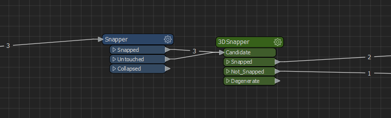 I tested this on a sample I created in Autocad and it does the job.
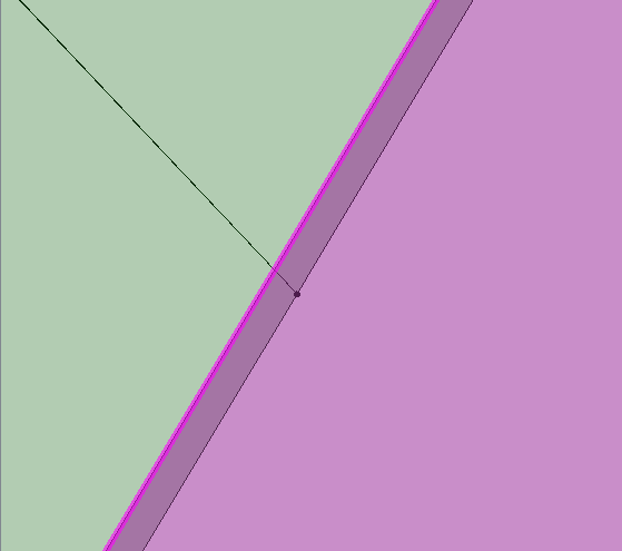
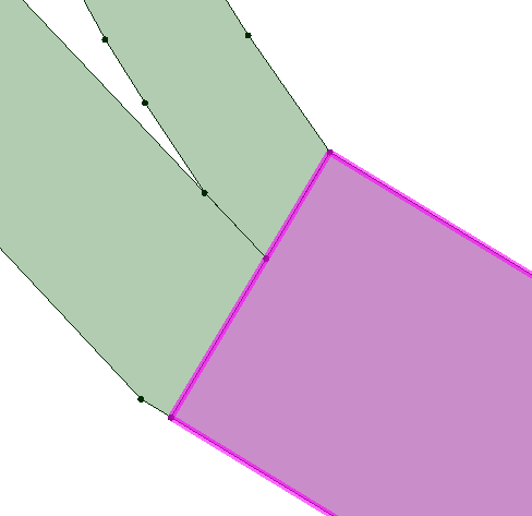 Zoomed (the selected pink polygon does not share a vertex with the other 2 polygons and we see a small overlap):