Hi,
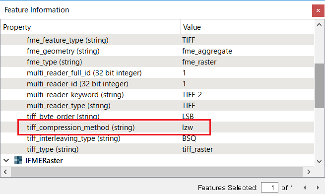
I have a set of 250 raster tiles, I have reprojected them from ITM to WGS84, before reprojection each tile was 87,215KB. After reprojection the tiles are roughly 180,000KB. Why has this happened? My workbench is included here, I first mosaicked the tiles then reprojected and finally clipped back to the tile boundaries.
Thanks for any help.
B


