
Has anyone had success reading FME Sentinel-3 data in FME Desktop?
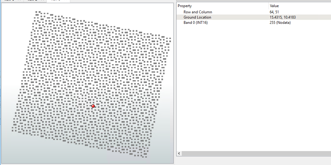
I am attempting to read in the level 2 OLCI Terrestrial Chlorophyll Index but their data does not come with any coordinate system within the netcdf but rather in a completely separate unrelated file which is not compatible GIS Software.
My question is how to properly read in Sentinel-3 data in fme desktop? Their documentation only provides a method for converting the data into a geotiff but unfortunately their software does not indicate the coordinate system of the data.
https://step.esa.int/docs/tutorials/S3TBX_Data_conversion_and_export_in_SNAP.pdf
After contacting their team about what coordinate system this data uses, their response was:
"I am afraid you won’t find any information related to the coordinate system in the documentation.
The data are provided in a projection linked to the satellite.
-Along track the resolution is OLCI acquisition rate (~0.044 s)
-Across track the sampling is 270 m (see value in the product manifest); frames are perpendicular to the satellite direction."
I didn't find their explanation very helpful.
Any suggestions?