Solved

RCaller write terrain models


I need to do some interpolations to create nice terrain models for the architects at my office. The TINGenerator isn´t enough in this case. I tested a script in R that makes an idw interpolation. My input data is pointcloud lidar data and my output/end result in FME should be a vector surface to use in cad or sketchup. I am using the lidR library in R.

Should I make a raster output from RCaller first and then create a terrain model? Do I need more librarys in R? My R script is :

library(lidR)

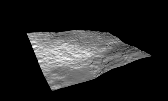
las = readLAS("C:/R/win-library/3.5/lidR/extdata/Topography.laz") dtm1 = grid_terrain(las, method = "knnidw", k = 6, p = 2 )

plot3d(dtm1) The plot in the end wouldn´t be useful in this case

How should I apply the code in RCaller with pointcloud as input and vector terrain model as wanted output? Other transformers after the RCaller could be useful?

Tobias

Best answer by samatsafe

Hi Tobias,

I've attached a workspace template that creates a surface from the RCaller script. I set it up to read a static path to the file like your example script; you will need to go into the RCaller and change it for it to work. You could also probably set that up to read the source dataset user parameter, but you have to be careful because R requires Unix paths.

I also added a few of our existing transformers that can use to generate surfaces from point clouds. You could try using those if you don't want the workspace to require R. You can check out this tutorial for some advice on how to use them, or search the forum Q&A; for point cloud surface discussions.

Here is the code in my RCaller:

Load lidR library; must be installed on local machinelibrary(lidR)# Generate terrain# Replace with correct path:las = readLAS("path/to/21884-topography.laz")dtm1 = grid_terrain(las, method = "knnidw", k = 6, p = 2 )topo.png <- plot3d(dtm1)# Output terrain rows with as X, Y, and Z attributes (note they had to be entered in under Attributes to Expose below)fmeOutput<-data.frame(dtm1)

Hopefully that helps.

r-surface.fmwt

View original
Did this help you find an answer to your question?

2 replies

gio
Contributor
Forum|alt.badge.img+15
  • Contributor
  • October 10, 2018

there are better terrain modellers/generators out there.

I have fond memories of sourceforge free and all. Don't know if it still exists though.


samatsafe
Safer
Forum|alt.badge.img+8
  • Safer
  • Best Answer
  • October 15, 2018

Hi Tobias,

I've attached a workspace template that creates a surface from the RCaller script. I set it up to read a static path to the file like your example script; you will need to go into the RCaller and change it for it to work. You could also probably set that up to read the source dataset user parameter, but you have to be careful because R requires Unix paths.

I also added a few of our existing transformers that can use to generate surfaces from point clouds. You could try using those if you don't want the workspace to require R. You can check out this tutorial for some advice on how to use them, or search the forum Q&A; for point cloud surface discussions.

Here is the code in my RCaller:

Load lidR library; must be installed on local machinelibrary(lidR)# Generate terrain# Replace with correct path:las = readLAS("path/to/21884-topography.laz")dtm1 = grid_terrain(las, method = "knnidw", k = 6, p = 2 )topo.png <- plot3d(dtm1)# Output terrain rows with as X, Y, and Z attributes (note they had to be entered in under Attributes to Expose below)fmeOutput<-data.frame(dtm1)

Hopefully that helps.

r-surface.fmwt


Cookie policy

We use cookies to enhance and personalize your experience. If you accept you agree to our full cookie policy. Learn more about our cookies.

 
Cookie settings