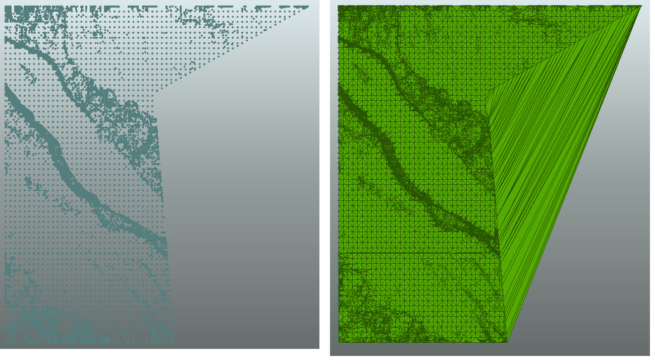
I am creating some 3D PDFs using a .xyz point cloud file.
The thing is one of the files have a great area without data, so when FME interpolates the point cloud to generate the TIN this area is also being taken and my PDF is getting a strange result for this area.
I tried to clip the area without any point cloud value but it didn't worked.
What I need to do is figure it out a way to clip the point cloud bounding box area so when the TIN is generated it will only interpolate the values where I have point cloud data.
Anyone have an idea if this is possible?
Thanks,
Gabriel


