HI, I need to filter/select the points which are in the polygones.
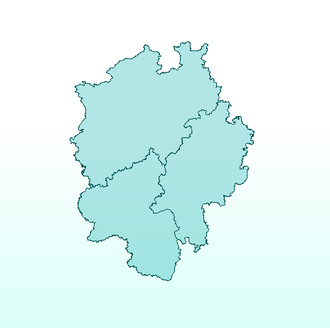
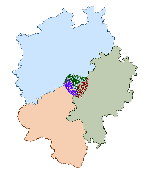
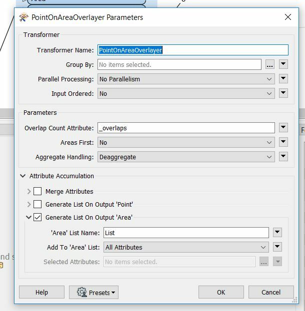
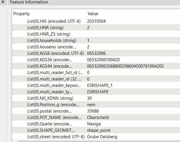
I have many points and a 35 polygons. The result should be 35 layers of polygones in which will be this points which are overlaping polygons. I tried to do it with PointOnAreaOverlayer, but it does not work how I want to. I tried it now only with 3 Polygones. The reprojecting system is ok, and they are overlaping. As a result I get separate polygone and points-which is the same result as at the beginning. How to merge this points and polygones together?
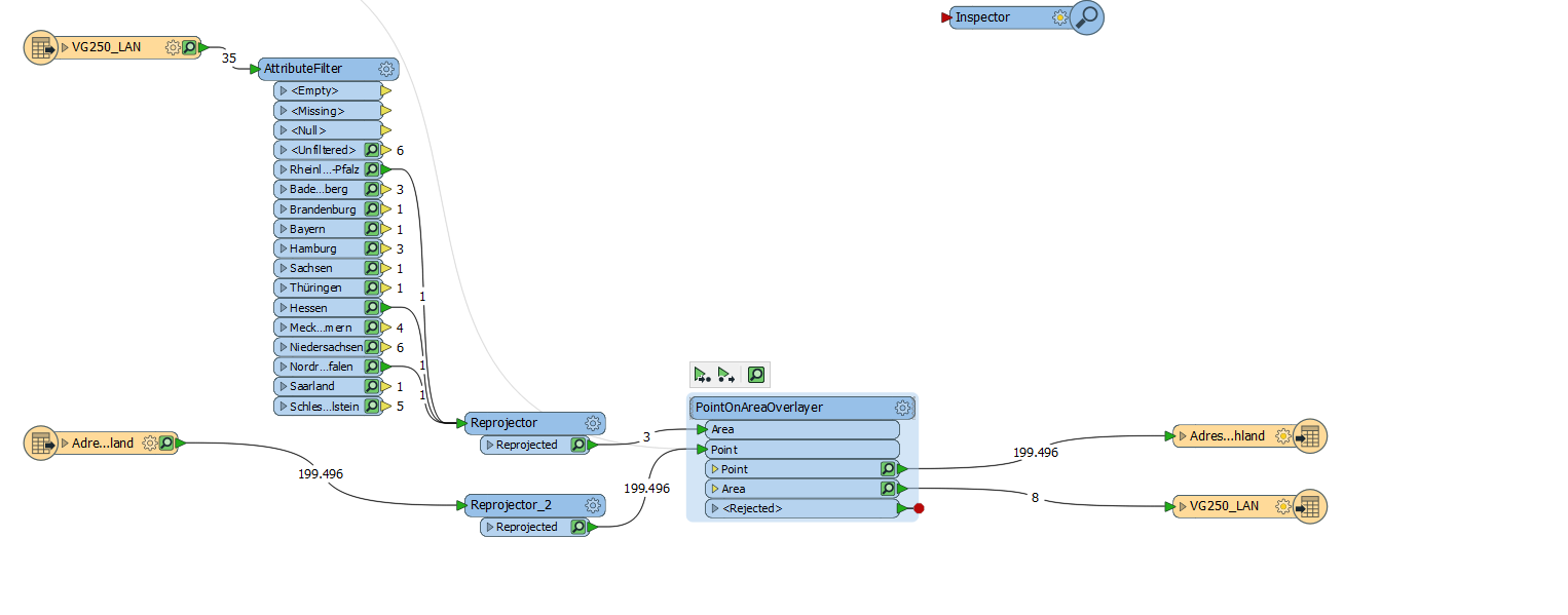
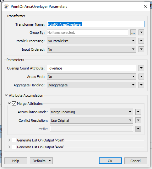
The result: