Question

Overlapping Map Markers


a_afiaax
Contributor
Forum|alt.badge.img+2

On a Mobile Map I have point shapefile presented as markers, but sometimes i have markers overlapping as following screenshot:
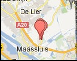
 

Does FME capable to solve this problem or what is the alternative solution as following screenshot?



@takashi @david_r @jlutherthomas @egomm @mark2atsafe @jdh


5 replies

itay
Supporter
Forum|alt.badge.img+17
  • Supporter
  • June 13, 2019

Hi @a_afiaax,

You could initially find all the points that are in the same location (SpatialRelator) and give them an offset (Offsetter).

Hope this helps.

Itay


ebygomm
Influencer
Forum|alt.badge.img+32
  • Influencer
  • June 13, 2019

I think there are probably better ways to handle this outside of FME for web mapping, because the offset required for all 3 features to be visible will vary depending on zoom level.


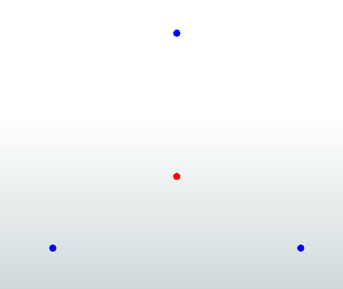
For static maps I've used an offsetter, followed by a rotator to disperse points (blue) around a central point (red)- offsetting by a set distance then rotating around the original location.

Works ok if just making separate points visible is the aim, I wouldn't use it if style/appearance was key


itay
Supporter
Forum|alt.badge.img+17
  • Supporter
  • June 13, 2019
ebygomm wrote:

I think there are probably better ways to handle this outside of FME for web mapping, because the offset required for all 3 features to be visible will vary depending on zoom level.


For static maps I've used an offsetter, followed by a rotator to disperse points (blue) around a central point (red)- offsetting by a set distance then rotating around the original location.

Works ok if just making separate points visible is the aim, I wouldn't use it if style/appearance was key

I totally agree with @egomm, this is much better managed via the front end than manipulating the onderlaying data, sometimes I forget there is more than just FME...:)


mark2atsafe
Safer
Forum|alt.badge.img+44

There's a custom transformer called SpreadDuplicatePoints that might help here.

Otherwise it depends on what mapping platform you are using. For example Google Earth does this automatically. Can your mapping platform do that? It's probably better practice to work it that way, rather than to move the data around (as others have mentioned, scale becomes an issue when you move items like that).


redgeographics
Celebrity
Forum|alt.badge.img+49
itay wrote:

I totally agree with @egomm, this is much better managed via the front end than manipulating the onderlaying data, sometimes I forget there is more than just FME...:)

[shock] more than FME??? [/shock]

But yeah, if I recall correctly both Google and Leaflet offer point clustering in their API's and I would expect this to be a standard feature in all web mapping solutions. You'll want to keep your data as-is.


Cookie policy

We use cookies to enhance and personalize your experience. If you accept you agree to our full cookie policy. Learn more about our cookies.

 
Cookie settings