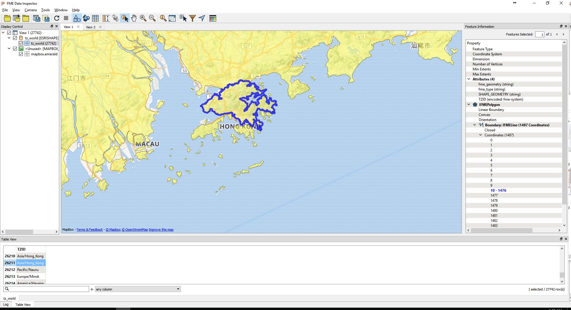
I have a shape file of world time zones sourced from here, and it looks like the screenshot below. Note- I can find TZ shapfiles that are simple large polygons covering the entire surface area which they represent, but they are usually out of date and some are not accurate enough. 
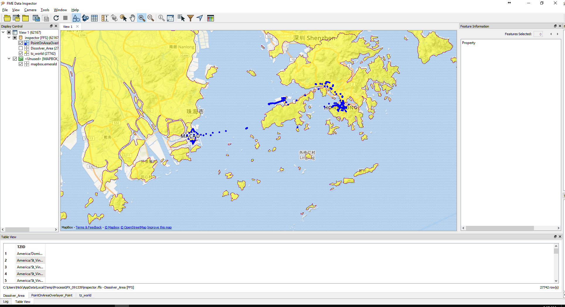
I have a GPS log of points collected where the dates/times are stored in zulu time, which I would like to adjust for the timezone they are in to represent the local time. I know I can easily perform a point on area overlayer to associate the appropriate timezone for each point, but the issue I am encountering is that there are points that do not fall within the TZ polygons.

I need to be able to associate the points falling outside of the polygons with the appropriate timezone. What steps would take to accomplish this? Best thought I had was to perform a geographic buffer on each of the polygons (26k+), dissolve them by the timezone ID, and perform the PoA overlayer, but the problem is that such a bufferer creates overlapping polygons. I would need to figure out a way to remove the overlap, and create a boundary between the two polygons that would fall between the two (in the middle) already in existence (kind of like a voronoi in how it creates boundaries). If that is not the best means, is there something better I could try? How would you tackle doing something like this?


