


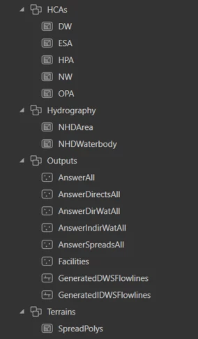
I have a file geodatabase that contains several feature datasets.
 Here is what I need to do......The AnswerAll point feature contains over 5000 rows, however I need to "select by attributes" using Comp_Name.......this yields me 376 results each with a varying number of rows for each Comp_Name.
I then need to take the HCA Name from each of these rows and find the corresponding HCA polygon in my HCA's dataset.
Once I have the HCA Names and there associated polygons for each Comp_Name, I need to create a Bounding Box Polygon around those Polygons, and export it out with the Comp_Name, HCANames, and HCATypes
I can attach my geodatabase if anyone wants to take a crack at this!
