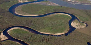
Picture a very curvy stream polygon. I would like to quickly calculate the shortest width and the longest width. Bounding boxes would not be applicable.
Thanks,
Pete

Picture a very curvy stream polygon. I would like to quickly calculate the shortest width and the longest width. Bounding boxes would not be applicable.
Thanks,
Pete
Best answer by takashi
Unfortunately I also don't know how you can use the ArcGIS Python function in FME workspace.
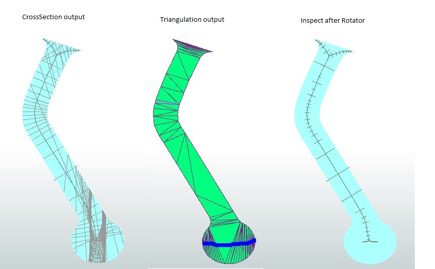
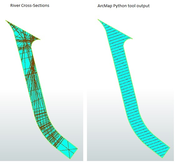
I upgraded my previous solution. The attached workspace is not perfect, but generates "better" cross sections for some areas as shown in this image. estimate-river-cross-sections.zip
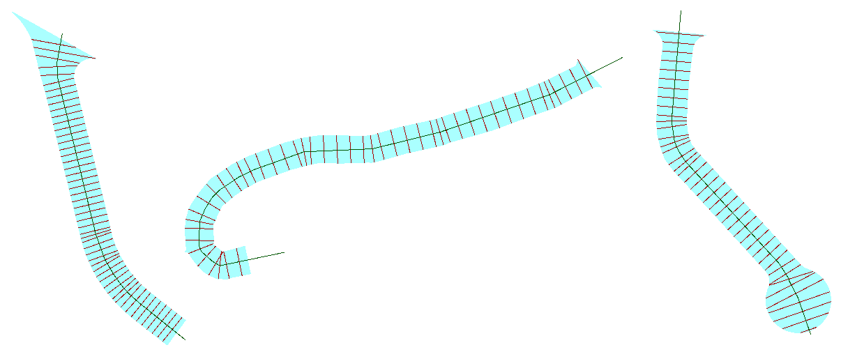
The key point is how to create "clean" center line for the river area, and the Generalizer might be useful in this case. However, the best solution could be different depending on the actual data condition. As @rollo mentioned at first, I think you cannot avoid doing trial and error approach to find appropriate solutions for each area. Good luck!
No account yet? Create an account
Enter your E-mail address. We'll send you an e-mail with instructions to reset your password.