I'm hoping this is fairly straightforward, I've searched a number of examples but I cannot quite find what I am looking for yet.
2 datasets:
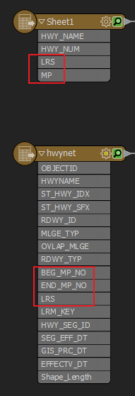
1dataset is a table with LRS and Milepoint (no geom)
1dataset is a highway network with LRS and Beginning_Milepoint and Ending_Milepoint (polyline)
 Objective
Is to place points along the linear feature based on LRS and MP from the table (the table contains assets located on the highway network).
This is often referred to as Make Route Events Layer in other software. Are there any recommended workflows to consider?
Thank you in advance!


