Hello. There is an interesting problem, but I can't solve it. I really need your help.
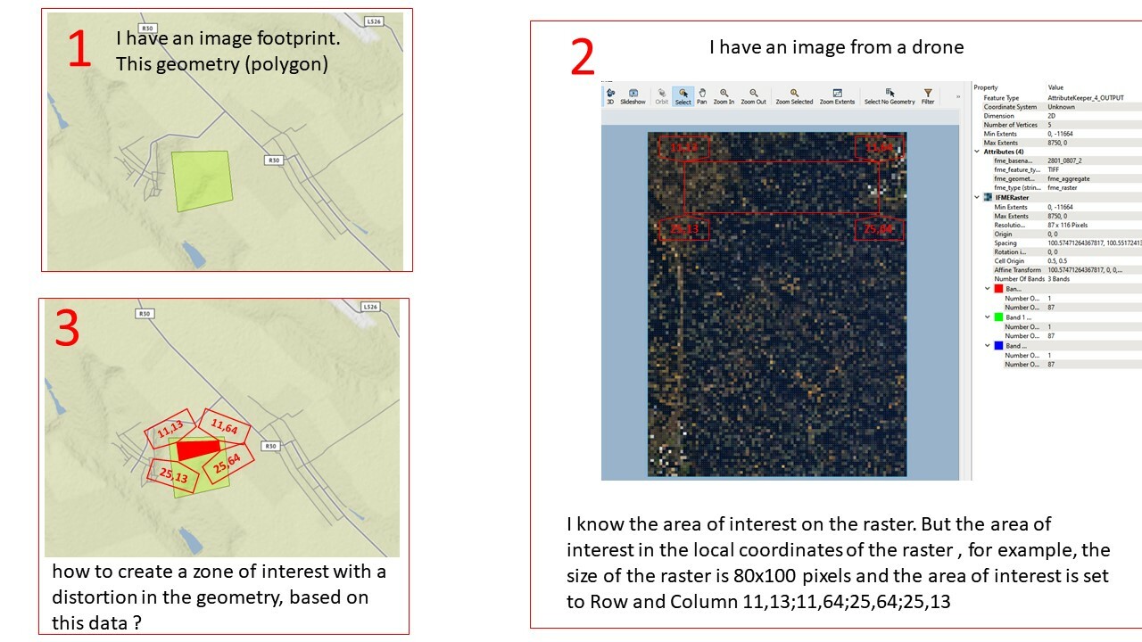
1. I have an image footprint. This geometry (polygon)
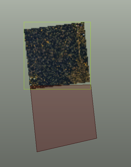
2 . I have an image from a drone. I know the area of interest on the raster. But the area of interest in the local coordinates of the raster , for example, the size of the raster is 80x100 pixels and the area of interest is set to Row and Column 11,13;11,64;25,64;25,13
3. how to create a zone of interest with a distortion in the geometry, based on this data ?


