Hi @antonio_j_ortiz,
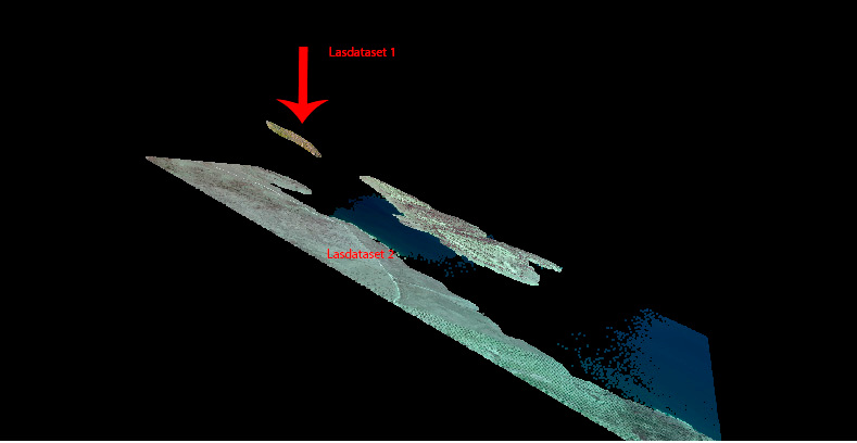
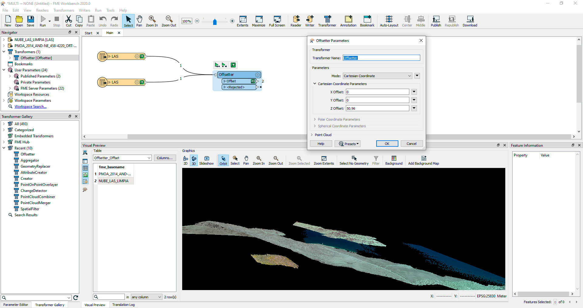
The 3DForcer is not necessary, but the Offsetter should adjust the point cloud. Would you mind sharing your workspace, or a screenshot of it?
Yes of course
here you have
Thank you very much for your time and effort.
Hi @antonio_j_ortiz,
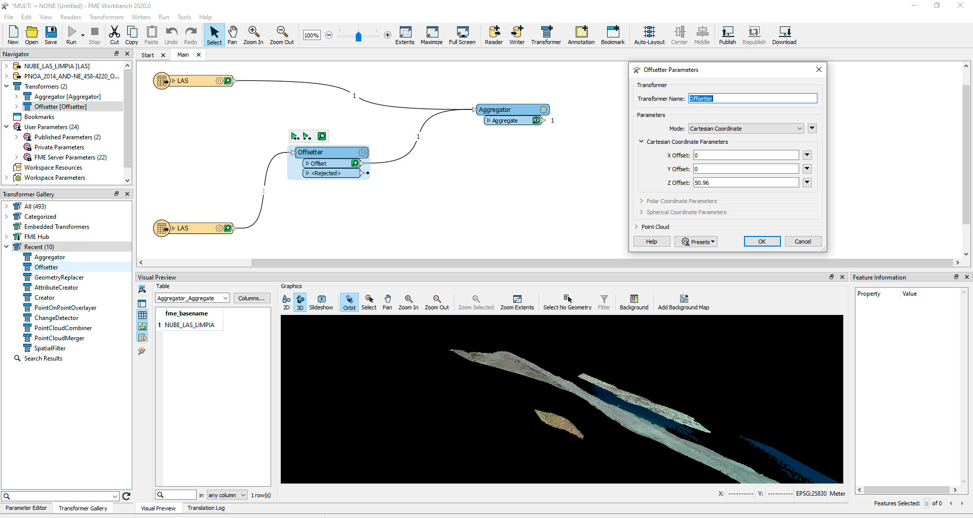
Please send only the LAS input whose Z is incorrect into the Offsetter to apply the correction. The other input can bypass that transformer.
Hi @antonio_j_ortiz,
Please send only the LAS input whose Z is incorrect into the Offsetter to apply the correction. The other input can bypass that transformer.
Hi @daveatsafe
I have just placed the LAS as you said to me and the results it is the same.
Thanks
Hi @daveatsafe
I have just placed the LAS as you said to me and the results it is the same.
Thanks
Hi @antonio_j_ortiz,
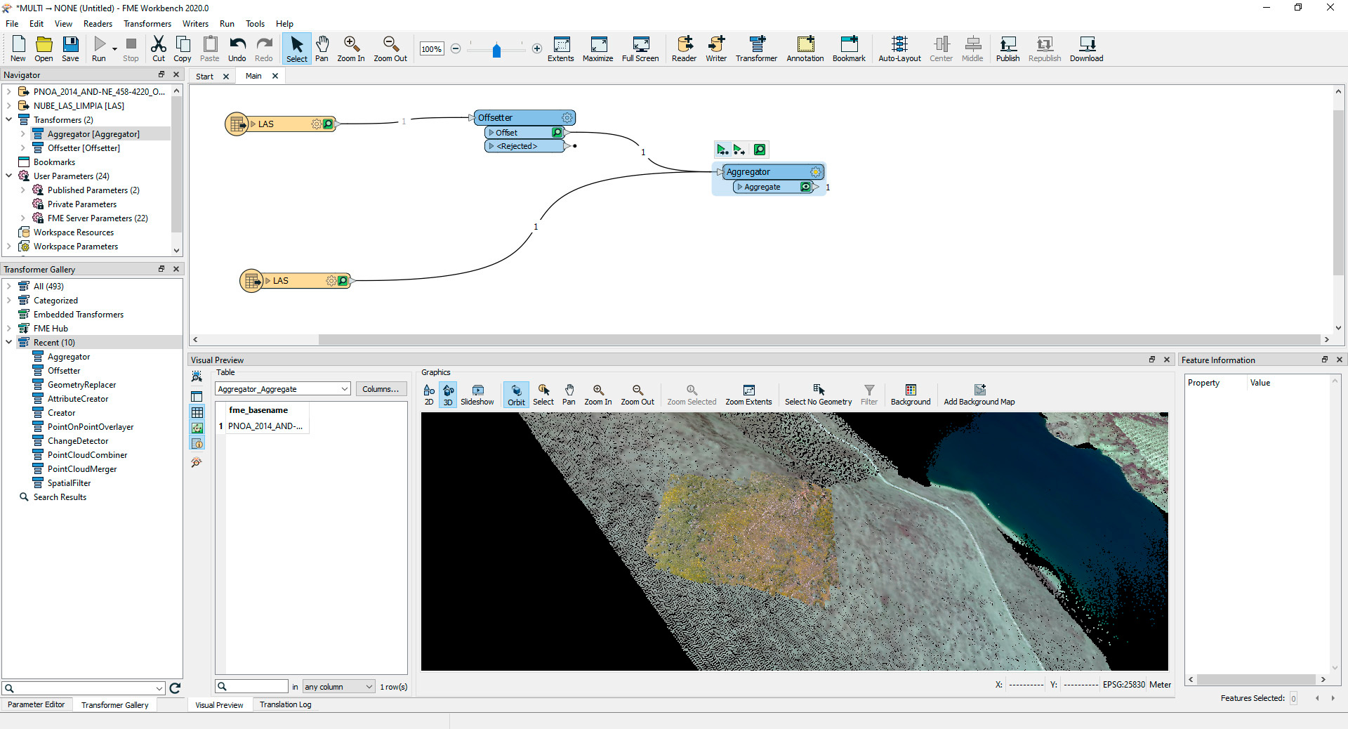
Please try reversing the sign of the offset.
Hi @antonio_j_ortiz,
Please send only the LAS input whose Z is incorrect into the Offsetter to apply the correction. The other input can bypass that transformer.
Hi
IT WORKS! tones of thank you!
Just one last question, the analysis of the distance (difference between both lass) can be done automatically in order to give better precission? if it possible, could you please me, explain how I must to proceed?
Thank you!
Hi
IT WORKS! tones of thank you!
Just one last question, the analysis of the distance (difference between both lass) can be done automatically in order to give better precission? if it possible, could you please me, explain how I must to proceed?
Thank you!
Hi @antonio_j_ortiz,
That is more complex - you will need to have a common reference point in both datasets, then compare the elevations at that point.
Hi @daveatsafe
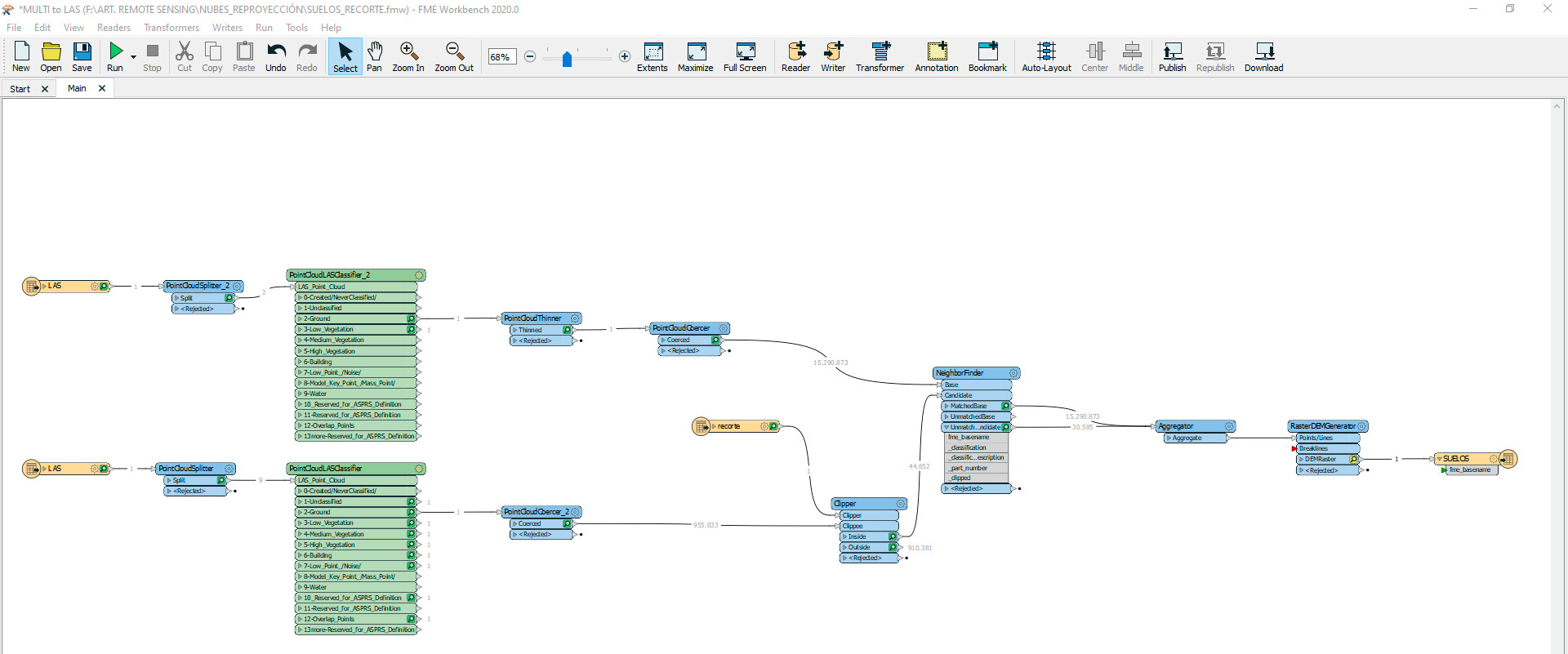
I have been working on it but unfortunatelly I don't reach my objective. After made the displacement of the dataset and generate a DEM, both dataset doesn't fix perfectly. So reading, and traying I arrived to the attached workflow, but, althoug both dataset are merged the difference in Z value still continue. As you can see in the attached workflow I processed both dataset in order to work just with ground points, and after that I used PointCloudThiner to reduce de biggest dataset and after that I used PointCloudCoercer over point classified as ground in both dataset. After that, I used a new shp file to clip the las dataset with biggest extension in order to adjust the dimensions ot the area in wich final calculation must be made. After that, I decided to use Neighborfinder but here emerge two problems, the first one is that in one of the dataset are "holes" due to the vegetaion point were removed previously to generate the processed point cloud, and when I use Neighborfinder the points from the second lasdataset that must fill this holes are not merged. On the other hand, the rest of the point are merge but it seems that the density of the first point cloud is reduces so, consequently spatial resolution too. As I didn't know if althoug, points where escluded the have been Z vale change I tried to merge matched and unmatched point by using Agregator but the results are not good.
I think tham I am near to reach my objective but this it is been a hard proceess to me due to my scarce idea.
Please, could you help to arrive my final objective?
Thank you very much for your disposal and sorry about the long text.