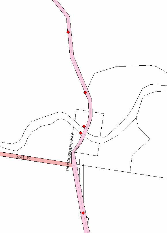
We often re-segment our Road Segment data (polygons) with GPS collected points. The points do not necessarily fall within the polygon. Is there a way to split the polygon with the point data? The image shows the result I'm after.

We often re-segment our Road Segment data (polygons) with GPS collected points. The points do not necessarily fall within the polygon. Is there a way to split the polygon with the point data? The image shows the result I'm after.
Best answer by gio
@fional
You can "project": the point to the border of the polygon.
One easy way to do it is to use a neighbourfinder.
Then add a new point (candidate_x,candidate_y) using vertexcreator, which gives you a line from point to border (if point it is outside the polygon) then on the border.
Extend the line by a sufficient distance to cross opposite border.
The use (for instance ) line on area overlayer.
If the point is inside the polygon, either use find 2 neighbours, or use find neighbor after the first one or extend line both directions.
So you first need to test whether point is in- or outside the polygon.
No account yet? Create an account
Enter your E-mail address. We'll send you an e-mail with instructions to reset your password.

