Hi,
I am making landuse change of 2 times but the data vector is so big.
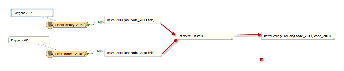
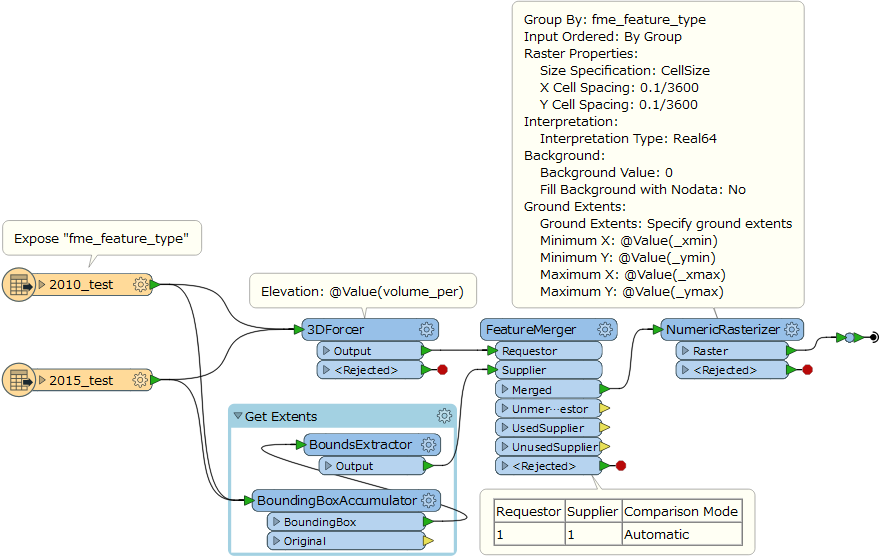
So I want to convert raster and make matrix landuse change in FME. Firstly, I will convert vector to raster and then find a intersect raster function.
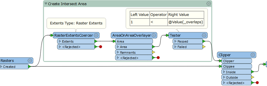
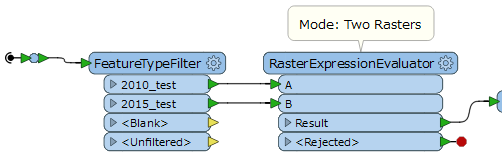
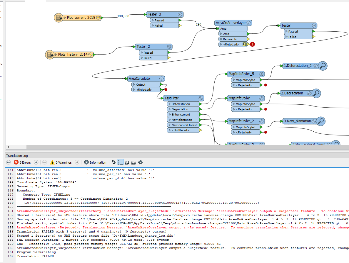
But I don't find the function to intersect raster. With vector, I used AreaOnAreaOverlayer function.
Could you show me the function to intersect raster?
Thank you